Line © OpenStreetMap contributors (ODbL), checked by Global Adventurer.
The walk
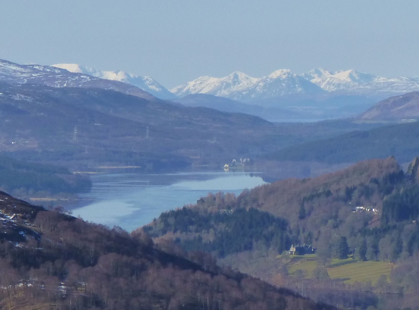
From the small parking area at Balnacraig, walk past the farm buildings to the golf course, bear right at the signpost and follow the path that skirts the upper side of the course, looking back over Pitlochry. It swings into the woods and crosses a track, then climbs very steeply through larch plantations onto National Trust for Scotland land and up wooden steps to Craigower's level summit. A view indicator looks up Loch Tummel to Schiehallion. A path and a forest track past a mast lead back down to the outward path.
It is 4.6 km with 243 m of ascent; allow about 2 hours. The grade is Easy: good waymarked paths, with a steep climb.
Watch out for golf balls along the edge of the course. A seat near the top looks down the strath over Pitlochry. Walkhighlands describes the paths as good and waymarked, with steep sections.
The parking area, run by the National Trust for Scotland, has room for only three cars and is free, according to OpenStreetMap. Larchwood Road leads up from Pitlochry. The nearest station is Pitlochry, about 1.3 km away.
Route drawn by Global Adventurer along OpenStreetMap paths (© OpenStreetMap contributors, ODbL), with figures worked out from it. Check the forecast and the ground on the day: paths change.
Good to know
- Craigower is a wooded hill owned by the National Trust for Scotland
- A view indicator on top looks up Loch Tummel to Schiehallion
- The way up skirts the top of Pitlochry golf course
Summits on the way
- Craigower 407 m
Getting there
Start: Craigower parking area, Balnacraig · Free parking. 56.71353, -3.73844
By train: Pitlochry station is 1.3 km from the start.
Places to stay nearby
Rooms in and around Craigower parking area: Booking.com → Expedia →
Affiliate links: if you book, Global Adventurer earns a small commission at no cost to you.
Paths change, and the weather decides the day. The line and figures come from OpenStreetMap and our own checks; take a map, check the forecast, and turn back if it isn't right.