Line © OpenStreetMap contributors (ODbL), checked by Global Adventurer.
The walk
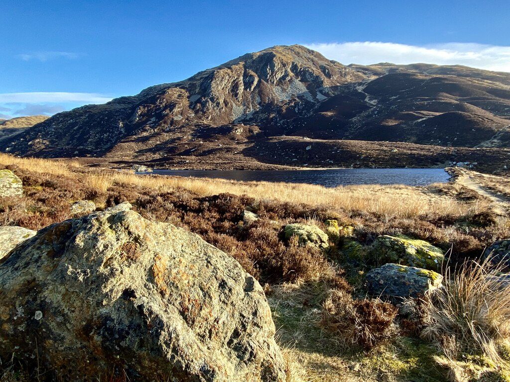
From the Ben Vrackie car park on the lane above Moulin, a marked path climbs through beech woods, crosses two small tracks and leaves the trees at a gate onto open moor. Keep on the main path at the junction with the Bealach path and continue to Loch a' Choire. Cross the earth dam and step across the outflow on stones, then climb the steep final cone on rough stone steps to the summit (841 m). Come back down to the loch and take the narrower path round its shore, which climbs a little over the moor and joins the path through the Bealach na Searmoin back to the outward route.
It is 10.1 km with 734 m of ascent; allow about 5¼ hours. The grade is Moderate: a well-made path, but the final climb is steep and rough.
A viewpoint marker on the summit names the hills; Beinn a' Ghlò and the Cairngorms lie to the north. Walkhighlands warns that the path round Loch a' Choire can be boggy. Heading for the Scottish Hills has no stalking information for Ben Vrackie, so follow any local signs during the season, which runs to 20 October.
The car park is free. The nearest station is Pitlochry, about 1.5 km away.
Route drawn by Global Adventurer along OpenStreetMap paths (© OpenStreetMap contributors, ODbL), with figures worked out from it. Check the forecast and the ground on the day: paths change.
Good to know
- Pitlochry's own hill, a rocky cone above Loch a' Choire
- A well-made path crosses heather moor and the dam of the loch before a steep, stepped climb
- From the top, Beinn a' Ghlò and the Cairngorms to the north, and down Strath Tay to the south
Summits on the way
- Ben Vrackie 842 m
Getting there
Start: Ben Vrackie car park, above Moulin · Free parking. 56.71539, -3.72740
By train: Pitlochry station is 1.5 km from the start.
Places to stay nearby
Rooms in and around Ben Vrackie car park: Booking.com → Expedia →
Affiliate links: if you book, Global Adventurer earns a small commission at no cost to you.
Paths change, and the weather decides the day. The line and figures come from OpenStreetMap and our own checks; take a map, check the forecast, and turn back if it isn't right.