Line © OpenStreetMap contributors (ODbL), checked by Global Adventurer.
The walk
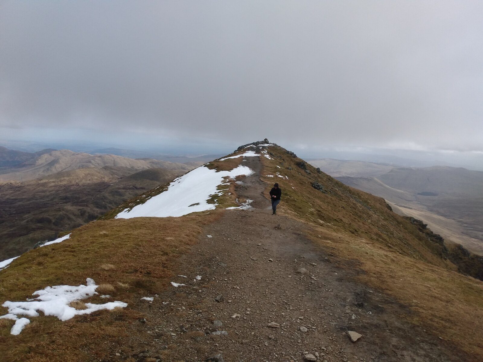
The walk starts from the roadside at Ardvorlich by Loch Earn and goes out and back. A track leads south up the glen from the loch, and a path then climbs the north ridge to the summit of Ben Vorlich (985 m). It is path and track, with rough mountain path higher up. This is the Loch Earn Ben Vorlich, one of two Munros so named.
It is 9.1 km with 869 m of ascent; allow about 6 hours. The grade is Hard; the path is clear, but the upper ridge is steep.
The ridge is exposed to the wind, and in mist take care to stay on it on the way down; carry a map and compass, check the forecast and use your judgement. In winter the ridge can be icy and needs ice axe and crampons. There are no mapped water sources on the route.
Ardvorlich is on the minor road along the south side of Loch Earn, between St Fillans and Lochearnhead. There is no car park at the start (the nearest mapped one is about 270 m away); keep gates and the farm access clear.
Route drawn by Global Adventurer along OpenStreetMap paths (© OpenStreetMap contributors, ODbL), with figures worked out from it. Check the forecast and the ground on the day: paths change.
Good to know
- The Loch Earn Ben Vorlich, one of two Munros of the name
- A clear path up the north ridge
- Views over Loch Earn
Summits on the way
- Ben Vorlich 985 m
Getting there
Start: Ardvorlich (roadside). 56.37890, -4.21600
Places to stay nearby
Rooms in and around Crianlarich: Booking.com → Expedia →
Affiliate links: if you book, Global Adventurer earns a small commission at no cost to you.
Paths change, and the weather decides the day. The line and figures come from OpenStreetMap and our own checks; take a map, check the forecast, and turn back if it isn't right.

