Line © OpenStreetMap contributors (ODbL), checked by Global Adventurer.
The walk
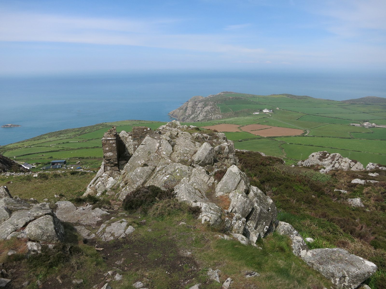
The walk starts from the car park at Strumble Head, above the lighthouse. Follow the coast path south-west, away from the lighthouse, for about 4 km along a broken coast of headlands and coves, climbing at the end to the road above the cliffs of Pwll Deri. Turn inland up the lane and take the path over Garn Fawr, where the stone ramparts of an Iron Age fort ring the rocky top at 213 m. Come down to the small car park on its east side and follow the lanes north to Tresinwen. A field path leads down to the coast at Porthsychan, and the coast path runs west past the coves of Pwlluog and Pwll Bach back to the lighthouse.
It is 9.3 km with 323 m of ascent; allow about 3¼ hours. The grade is Moderate: the coast path is rough, with many short climbs.
The cliffs are up to 140 m high. Take great care on the coast path: stay on the path and away from the cliff edge, above all in wind or wet. Wear boots: the path can be muddy, and there are fields with livestock. About a quarter of the walk is on narrow lanes. Seals, porpoises and dolphins are often seen from the head.
Parking at Strumble Head is free. In season the Strumble Shuttle bus (404) calls there.
Route drawn by Global Adventurer along OpenStreetMap paths (© OpenStreetMap contributors, ODbL), with figures worked out from it. Check the forecast and the ground on the day: paths change.
Good to know
- Strumble Head lighthouse, built in 1908, stands on the rocky islet of Ynys Meicel
- Headlands of hard igneous rock, with cliffs up to 140 m high
- Garn Fawr, 213 m, carries an Iron Age stone fort; on a clear day the view reaches Ireland
- Porpoises, dolphins and grey seals are often seen from the head
Summits on the way
- Garn Fawr 213 m
Getting there
Start: Strumble Head car park · Free parking. 52.02900, -5.07058
Places to stay nearby
Rooms in and around Fishguard and Goodwick: Booking.com → Expedia →
Affiliate links: if you book, Global Adventurer earns a small commission at no cost to you.
Paths change, and the weather decides the day. The line and figures come from OpenStreetMap and our own checks; take a map, check the forecast, and turn back if it isn't right.