Line © OpenStreetMap contributors (ODbL), checked by Global Adventurer.
The walk
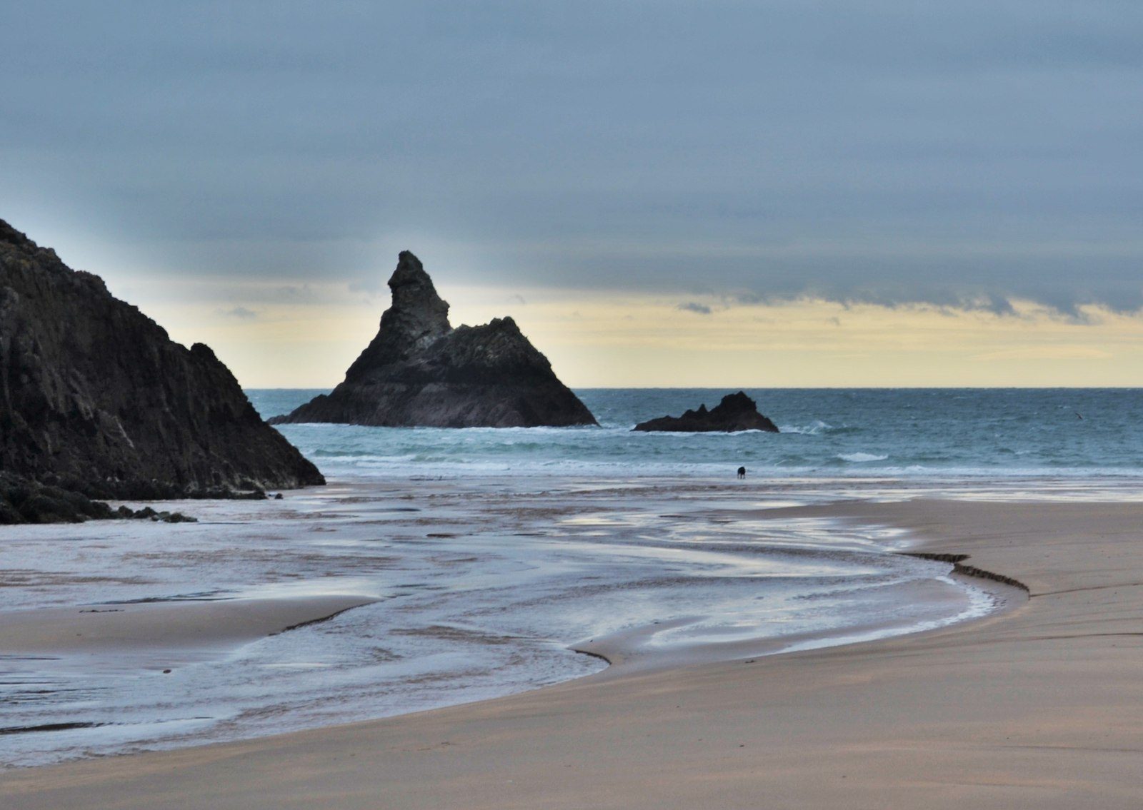
The walk starts from the National Trust car park at Stackpole Quay. Take the coast path over the cliff to Barafundle Bay, cross the back of the beach and go up onto Stackpole Head, a limestone headland of cliffs, caves and arches. Follow the cliff top west to Broad Haven South and turn inland along the Bosherston lily ponds, taking the western arm to Bosherston village. Come back along the north side of that arm, cross the Grassy Bridge and take the path up past the Devil's Quoit standing stone and across the fields of the estate to Stackpole Quay.
It is 9.5 km with 156 m of ascent; allow about 2¾ hours. The grade is Easy.
The cliffs are unfenced: stay on the path and away from the edge. The fields hold livestock. The permissive path between the Eight Arch Bridge and Stackpole Quay may be closed at times. The coast path west of Broad Haven South, to St Govan's and Stack Rocks, crosses the Castlemartin range and is closed when it is firing (ring 01646 662280); this walk turns inland before it.
The National Trust car parks charge £4 for up to three hours or £8 a day; members park free. Buses serve Stackpole and Bosherston, and the Coastal Cruiser runs in season.
Route drawn by Global Adventurer along OpenStreetMap paths (© OpenStreetMap contributors, ODbL), with figures worked out from it. Check the forecast and the ground on the day: paths change.
Good to know
- Stackpole Quay is a small harbour in an old limestone quarry, with a square limekiln
- Barafundle Bay is a remote beach with no road to it
- The water lilies on the Bosherston ponds are at their best in June
- Choughs and razorbills nest on the limestone cliffs of Stackpole Head
Getting there
Start: Stackpole Quay car park · Pay and display. 51.62509, -4.90385
Places to stay nearby
Rooms in and around Lamphey: Booking.com → Expedia →
Affiliate links: if you book, Global Adventurer earns a small commission at no cost to you.
Paths change, and the weather decides the day. The line and figures come from OpenStreetMap and our own checks; take a map, check the forecast, and turn back if it isn't right.