Line © OpenStreetMap contributors (ODbL), checked by Global Adventurer.
The walk
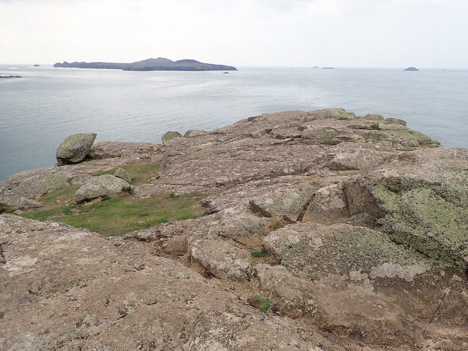
The walk starts from the car park at Whitesands. Take the coast path north-west along the heathy headland to St Davids Head, once an Iron Age cliff fort, with Ramsey Island and the rocks of the Bishops and Clerks out to sea. A little inland stands Coetan Arthur, a Neolithic burial chamber. The coast path then runs north-east along the cliffs on the far side of the headland. At Penllechwen the walk turns inland and climbs to the rocky top of Carn Llidi, 181 m, the highest point of the peninsula. It comes down past a second burial chamber and returns by the farm at Upper Porthmawr and the lane to Whitesands.
It is 6.3 km with 239 m of ascent; allow about 2¼ hours. The grade is Easy.
The paths on the headland are rough and uneven, and there are many of them: the coast path is the one nearest the sea. Take great care on the coast path: stay on the path and away from the cliff edge, above all in wind or wet. The path over Carn Llidi is steep, with steps. Livestock graze the fields and the head, dogs must be on a lead at Upper Porthmawr, and chickens roam the farmyard. Adders live in the heath.
The car park charges. In season the Celtic Coaster bus (403) runs from St Davids to Whitesands.
Route drawn by Global Adventurer along OpenStreetMap paths (© OpenStreetMap contributors, ODbL), with figures worked out from it. Check the forecast and the ground on the day: paths change.
Good to know
- Coetan Arthur, a Neolithic burial chamber, stands on the headland
- Carn Llidi, 181 m, the rocky hill above Whitesands, has an Iron Age settlement and old field walls on its slopes
- Views over Whitesands Bay to Ramsey Island and the rocks called the Bishops and Clerks
- Peregrines, gannets and porpoises may be seen; the heath flowers with spring squill
Summits on the way
- St David's Head 109 m · passed close by
- Carn Llidi 181 m
Getting there
Start: Whitesands car park · Pay and display. 51.89686, -5.29454
Places to stay nearby
Rooms in and around Fishguard and Goodwick: Booking.com → Expedia →
Affiliate links: if you book, Global Adventurer earns a small commission at no cost to you.
Paths change, and the weather decides the day. The line and figures come from OpenStreetMap and our own checks; take a map, check the forecast, and turn back if it isn't right.
