Line © OpenStreetMap contributors (ODbL), checked by Global Adventurer.
The walk
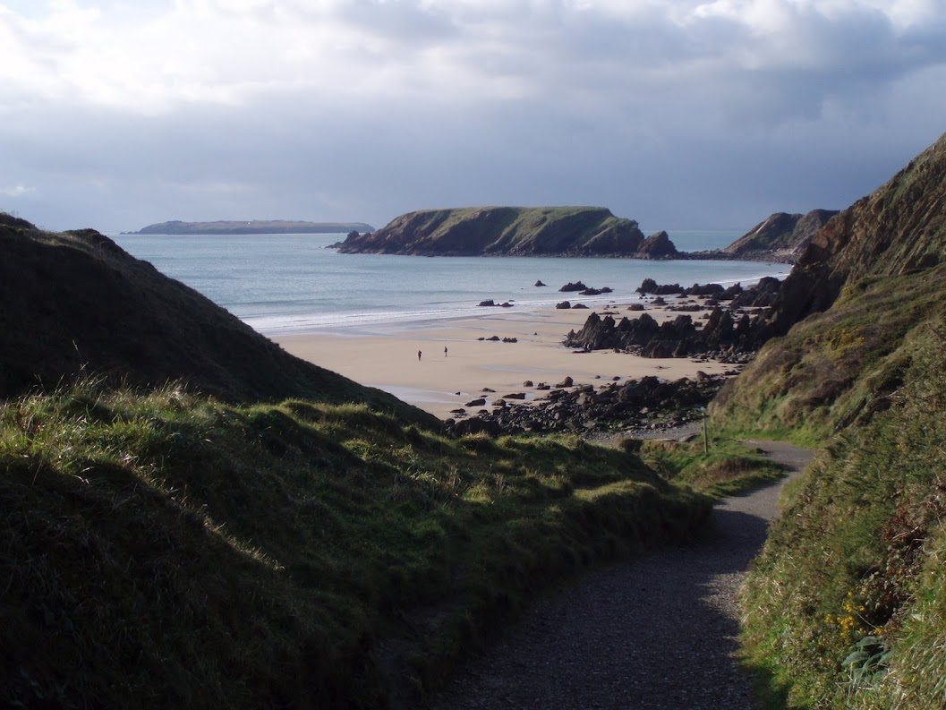
The walk starts from the National Trust car park for Marloes Sands. Follow the track north to the road, cross it and take the path to the cliffs on the north side of the peninsula. The coast path leads west above St Brides Bay to Martin's Haven, where the boats leave for Skomer. Go on into the Deer Park and walk round the headland by Wooltack Point, with the island of Skomer just offshore. The coast path then turns back east along the south side of the peninsula, past the Iron Age fort above Watery Bay and the promontory of Gateholm, and along the cliff top above Marloes Sands to the path up to the car park.
It is 8.3 km with 126 m of ascent; allow about 2½ hours. The grade is Easy.
The going is fairly level. Take great care on the coast path: stay on the path and away from the cliff edge, above all in wind or wet. Welsh mountain ponies graze the Deer Park and there is livestock in the fields. From late August grey seals and their pups lie on the beaches under the cliffs: watch from the top, quietly, and keep dogs on a lead.
The car park charges. The Puffin Shuttle bus (400) runs to Martin's Haven in season.
Route drawn by Global Adventurer along OpenStreetMap paths (© OpenStreetMap contributors, ODbL), with figures worked out from it. Check the forecast and the ground on the day: paths change.
Good to know
- The Deer Park is the headland at the tip of the Marloes peninsula, grazed by Welsh mountain ponies
- Wooltack Point looks across St Brides Bay to Ramsey Island
- Grey seals and their pups can be seen below the cliffs from late August
- Boats to Skomer leave from Martin's Haven
Getting there
Start: Marloes Sands car park · Pay and display. 51.72885, -5.21706
Places to stay nearby
Rooms in and around Milford Haven: Booking.com → Expedia →
Affiliate links: if you book, Global Adventurer earns a small commission at no cost to you.
Paths change, and the weather decides the day. The line and figures come from OpenStreetMap and our own checks; take a map, check the forecast, and turn back if it isn't right.