Line © OpenStreetMap contributors (ODbL), checked by Global Adventurer.
The walk
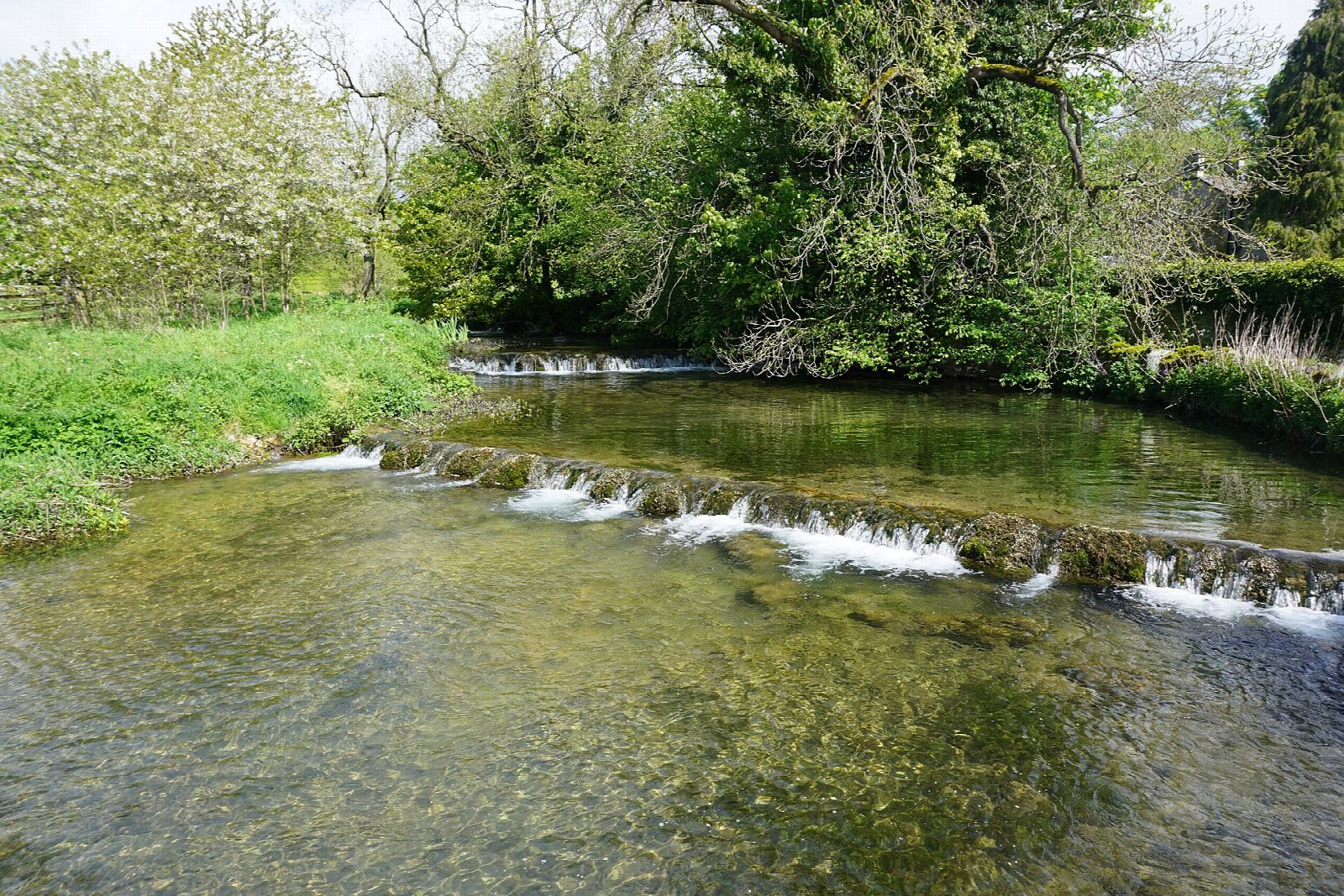
The walk starts from the car park in Over Haddon. A steep lane drops to Lathkill Lodge, and the path follows the Lathkill downstream beside its weirs and clear pools to the medieval Conksbury Bridge. A field path carries on down the valley to Alport, where the route turns up Bradford Dale and follows the river Bradford to the foot of Youlgreave. It climbs through the village, crosses the fields northwards to Meadow Place Grange, drops through the wood to the footbridge at Lathkill Lodge and climbs the lane back to Over Haddon.
It is 8.2 km with 188 m of ascent; allow about 2½ hours. The grade is Easy.
Both rivers run clear over limestone. The Lathkill is part of the Derbyshire Dales National Nature Reserve, and Natural England asks people to keep out of the water; in a dry summer the river can almost dry up at Over Haddon. The paths are good but muddy after rain, the limestone is slippery when wet, and the two climbs, into Youlgreave and back up to Over Haddon, are short and steep. Livestock graze the fields.
The Derbyshire Dales car park charges and has toilets. There is no station nearby.
Route drawn by Global Adventurer along OpenStreetMap paths (© OpenStreetMap contributors, ODbL), with figures worked out from it. Check the forecast and the ground on the day: paths change.
Good to know
- The Lathkill and the Bradford are clear limestone rivers that meet at Alport
- Conksbury Bridge is medieval
- Youlgreave has its own water company and a fountain of 1829
Getting there
Start: Over Haddon car park · Pay and display. 53.19449, -1.69756
Places to stay nearby
Rooms in and around Matlock: Booking.com → Expedia →
Affiliate links: if you book, Global Adventurer earns a small commission at no cost to you.
Paths change, and the weather decides the day. The line and figures come from OpenStreetMap and our own checks; take a map, check the forecast, and turn back if it isn't right.