Line © OpenStreetMap contributors (ODbL), checked by Global Adventurer.
The walk
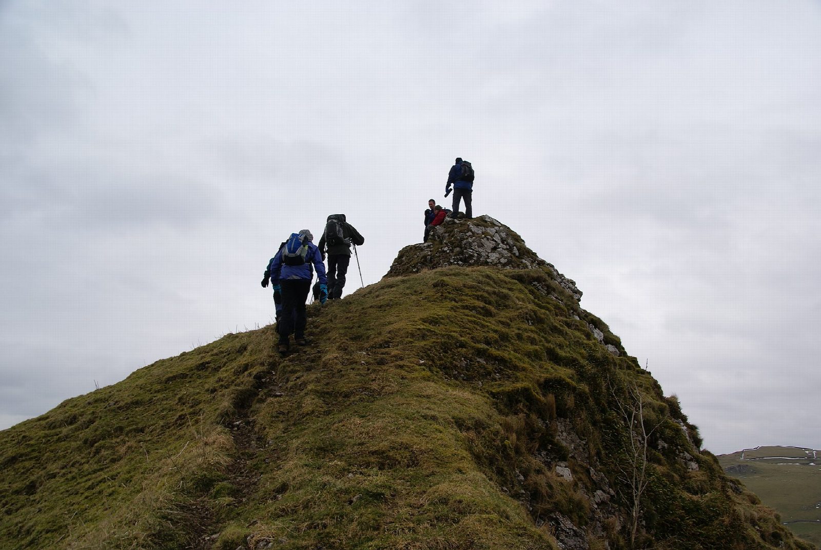
The walk starts from the free car park in Hollinsclough and makes a circuit of the 'Dragon's Back', two sharp limestone reef knolls in the upper Dove valley. It crosses Parkhouse Hill (375 m) on its concession path, then climbs the ridge of Chrome Hill (439 m) and comes off its north-west end past Tor Rock to Stoop Farm. The return passes close to Hollins Hill and drops back to the village. About four-fifths is on path, with some lane.
It is 7.2 km with 391 m of ascent; allow about 3 hours. The grade is Easy for the distance and height, but Parkhouse Hill is steep and rocky, and both ridges are sharp.
Both hills were coral reefs in a tropical sea 330 million years ago. The ridges are no place to be in a high wind. Keep to the concession paths, and on the farmland close gates and watch for stock. There are no mapped water sources on the route.
The car park is free. The nearest station is Buxton, about 7 km away in a straight line.
Route drawn by Global Adventurer along OpenStreetMap paths (© OpenStreetMap contributors, ODbL), with figures worked out from it. Check the forecast and the ground on the day: paths change.
Good to know
- The 'Dragon's Back': two sharp limestone reef knolls in the upper Dove valley
- Both were coral reefs in a tropical sea 330 million years ago
- Concession paths cross both ridges; Parkhouse Hill is steep and rocky
Summits on the way
- Parkhouse Hill 375 m
- Chrome Hill 439 m
- Hollins Hill 450 m · passed close by
Getting there
Start: Hollinsclough · Free parking. 53.19549, -1.90367
Places to stay nearby
Rooms in and around Buxton: Booking.com → Expedia →
Affiliate links: if you book, Global Adventurer earns a small commission at no cost to you.
Paths change, and the weather decides the day. The line and figures come from OpenStreetMap and our own checks; take a map, check the forecast, and turn back if it isn't right.


