Line © OpenStreetMap contributors (ODbL), checked by Global Adventurer.
The walk
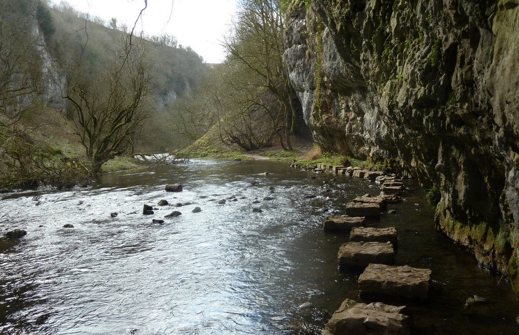
The walk starts from the car park at the old Miller's Dale station. It follows the Monsal Trail west through the Chee Tor tunnels to the cottages at Blackwell Mill, where it leaves the old railway for the riverside path. The path comes back down Chee Dale beside the Wye, squeezed between the water and overhanging limestone walls, and twice takes to stepping stones laid along the river under the cliffs. It rounds the buttress of Chee Tor, passes Wormhill Springs and climbs back to the trail a short way from the station.
It is 6.6 km with 106 m of ascent; allow about 2 hours. The grade is Easy by time, but the riverside half is slow going.
The dale path is rocky, uneven and muddy, with boardwalks and steps, and the Derbyshire Wildlife Trust warns that it is very likely to be wet or flooded, especially from September to March. When the river is high the stepping stones are under water and the dale cannot be walked: turn back and return along the trail. Dogs must be on a lead in the reserve and on the trail. The gorge is about 60 metres deep.
The National Park car park charges and has toilets. There is no station nearby.
Route drawn by Global Adventurer along OpenStreetMap paths (© OpenStreetMap contributors, ODbL), with figures worked out from it. Check the forecast and the ground on the day: paths change.
Good to know
- Chee Dale is a limestone gorge about 60 metres deep, a Derbyshire Wildlife Trust reserve
- Two sets of stepping stones run along the river under overhanging cliffs
- The Monsal Trail runs through the Chee Tor tunnels, reopened in 2011
- The stepping stones flood when the river is high
Getting there
Start: Miller's Dale car park · Pay and display. 53.25621, -1.79445
Places to stay nearby
Rooms in and around Buxton: Booking.com → Expedia →
Affiliate links: if you book, Global Adventurer earns a small commission at no cost to you.
Paths change, and the weather decides the day. The line and figures come from OpenStreetMap and our own checks; take a map, check the forecast, and turn back if it isn't right.

