Line © OpenStreetMap contributors (ODbL), checked by Global Adventurer.
The walk
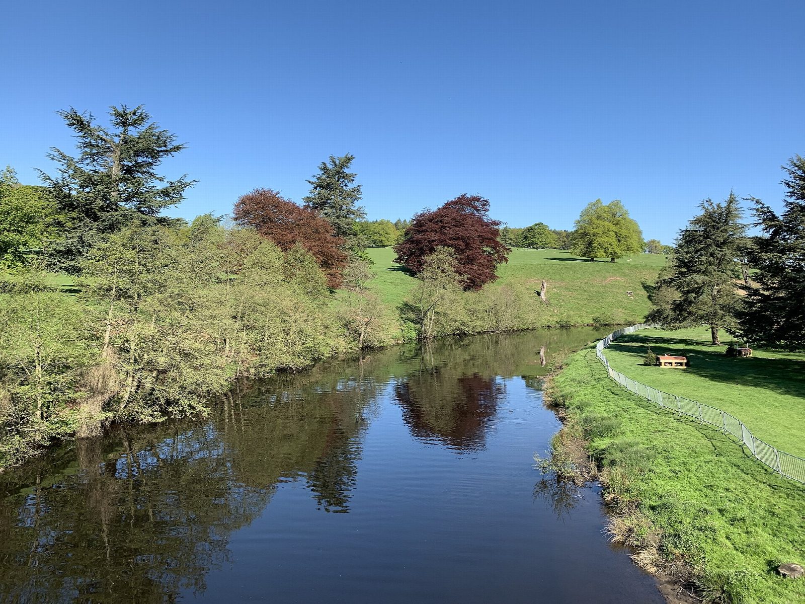
The walk starts from the Nether End car park in Baslow. A path leads through a kissing gate into Chatsworth park. The route climbs south-east across the open parkland to Stand Wood and follows the woodland tracks to the Hunting Tower, completed about 1582 for Bess of Hardwick, on the hillside above the house. A track goes on to the Emperor Lake, and a path with steps drops back through the wood to the stables and the north front of Chatsworth House. The return passes Queen Mary's Bower and follows the park beside the river Derwent to the kissing gate.
It is 6.5 km with 129 m of ascent; allow about 2 hours. The grade is Easy.
The park and Stand Wood are free to walk in all year, on paths the estate allows rather than rights of way; events can close parts of the park, and from 7 November to 13 December 2026 the Christmas market fills the ground near the house. Dogs must be on a lead: sheep, cattle and red and fallow deer graze the park. The paths in Stand Wood are steep in places, with steps. The Hunting Tower is let as a holiday house and is seen from outside.
The Derbyshire Dales car park in Baslow charges and has toilets. There is no station nearby.
Route drawn by Global Adventurer along OpenStreetMap paths (© OpenStreetMap contributors, ODbL), with figures worked out from it. Check the forecast and the ground on the day: paths change.
Good to know
- The Hunting Tower was completed about 1582 for Bess of Hardwick
- The park covers 1,000 acres and was landscaped by Capability Brown in the 1760s
- Red and fallow deer, sheep and cattle graze the park
- The park and Stand Wood are free to walk in
Getting there
Start: Baslow Nether End car park · Pay and display. 53.24547, -1.61467
Places to stay nearby
Rooms in and around Grindleford: Booking.com → Expedia →
Affiliate links: if you book, Global Adventurer earns a small commission at no cost to you.
Paths change, and the weather decides the day. The line and figures come from OpenStreetMap and our own checks; take a map, check the forecast, and turn back if it isn't right.
