Line © OpenStreetMap contributors (ODbL), checked by Global Adventurer.
The walk
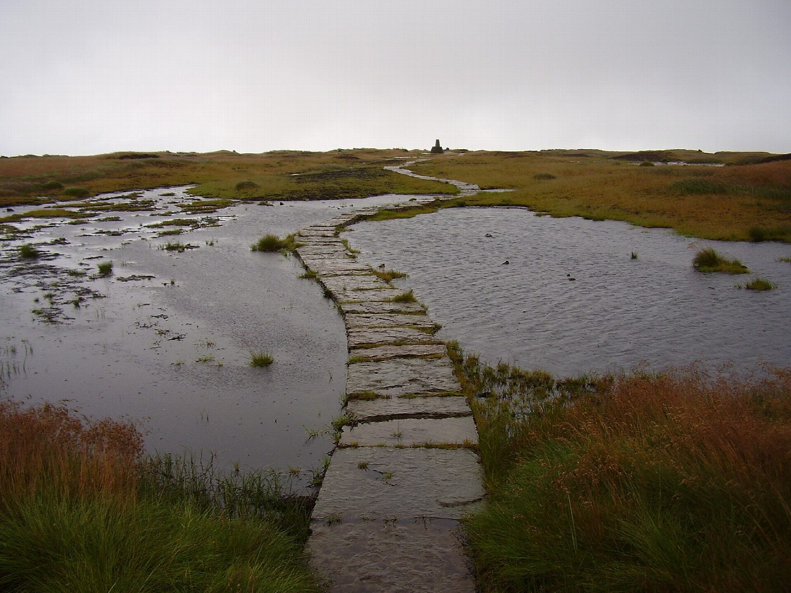
The walk starts from the Crowden car park in Longdendale. It joins the Pennine Way and follows it north up the valley of Crowden Great Brook, climbing to the cliff-edge path above Laddow Rocks, then drops to the brook and takes the flagged path up to the trig point on Black Hill (582 m), the highest point in West Yorkshire. The return heads south-east over Tooleyshaw Moss, then south along the broad ridge by White Low and Westend Moss to Hey Edge, and steeply down to Crowden.
It is 14.1 km with 478 m of ascent; allow about 5 hours. The grade is Moderate by time, but this is a serious moorland day.
The Pennine Way is clear, with side streams to ford and an exposed path above Laddow Rocks. The way back is another matter: the path off the summit is faint, the peat hags of Tooleyshaw Moss are boggy, and there are only a few cairns and guide poles, so a map and compass, and the skill to use them, are essential. It is not a walk for mist. Below Hey Edge keep well clear of the cliffs of Loftend Quarry.
The National Park car park is free, and there are toilets by the campsite. There is no station nearby.
Route drawn by Global Adventurer along OpenStreetMap paths (© OpenStreetMap contributors, ODbL), with figures worked out from it. Check the forecast and the ground on the day: paths change.
Good to know
- Black Hill (582 m) is the highest point in West Yorkshire
- Up the Pennine Way past Laddow Rocks; back over Tooleyshaw Moss, Westend Moss and Hey Edge
- The trig point stands on a mound called Soldiers' Lump
- The return ridge is faint and boggy: map and compass needed
Summits on the way
- Black Hill 581 m
- Westend Moss 527 m · passed close by
Getting there
Start: Crowden car park · Free parking. 53.49001, -1.89226
Places to stay nearby
Rooms in and around Hadfield: Booking.com → Expedia →
Affiliate links: if you book, Global Adventurer earns a small commission at no cost to you.
Paths change, and the weather decides the day. The line and figures come from OpenStreetMap and our own checks; take a map, check the forecast, and turn back if it isn't right.
