Line © OpenStreetMap contributors (ODbL), checked by Global Adventurer.
The walk
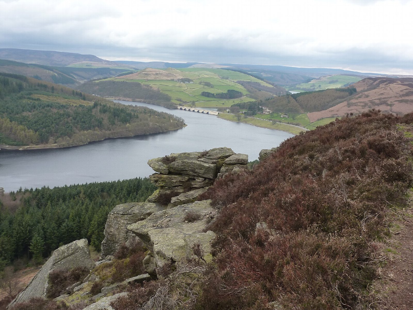
The walk starts from the Heatherdene car park beside Ladybower Reservoir. A path climbs steeply through the wood, crosses the clearing under the power lines and comes out by a stile on to Bamford Moor. A clear path then runs south along the top of Bamford Edge, past the outcrop of Great Tor, to the southern end of the main edge. The return is the same way.
It is 4.5 km with 198 m of ascent; allow about 1½ hours. The grade is Easy: short, but the climb through the wood is steep.
The edge is a line of gritstone crags 8 to 13 metres high, unfenced and sheer, with rough, bouldery ground behind it; take care near the drop, most of all in wind or with children. The view takes in Ladybower and its viaduct, Win Hill across the water and most of the Hope Valley. The moor is private access land with a standing rule that dogs are not allowed, so this is not a walk for a dog.
The Severn Trent car park charges and has toilets. Bamford station is about 3.5 km away.
Route drawn by Global Adventurer along OpenStreetMap paths (© OpenStreetMap contributors, ODbL), with figures worked out from it. Check the forecast and the ground on the day: paths change.
Good to know
- A gritstone edge 8 to 13 metres high above Ladybower Reservoir
- Looks over Ladybower, Win Hill and the Hope Valley
- Out and back from the Heatherdene car park
- Dogs are not allowed on the moor
Getting there
Start: Heatherdene car park · Pay and display. 53.36962, -1.69694
Places to stay nearby
Rooms in and around Hope: Booking.com → Expedia →
Affiliate links: if you book, Global Adventurer earns a small commission at no cost to you.
Paths change, and the weather decides the day. The line and figures come from OpenStreetMap and our own checks; take a map, check the forecast, and turn back if it isn't right.
