Line © OpenStreetMap contributors (ODbL), checked by Global Adventurer.
The walk
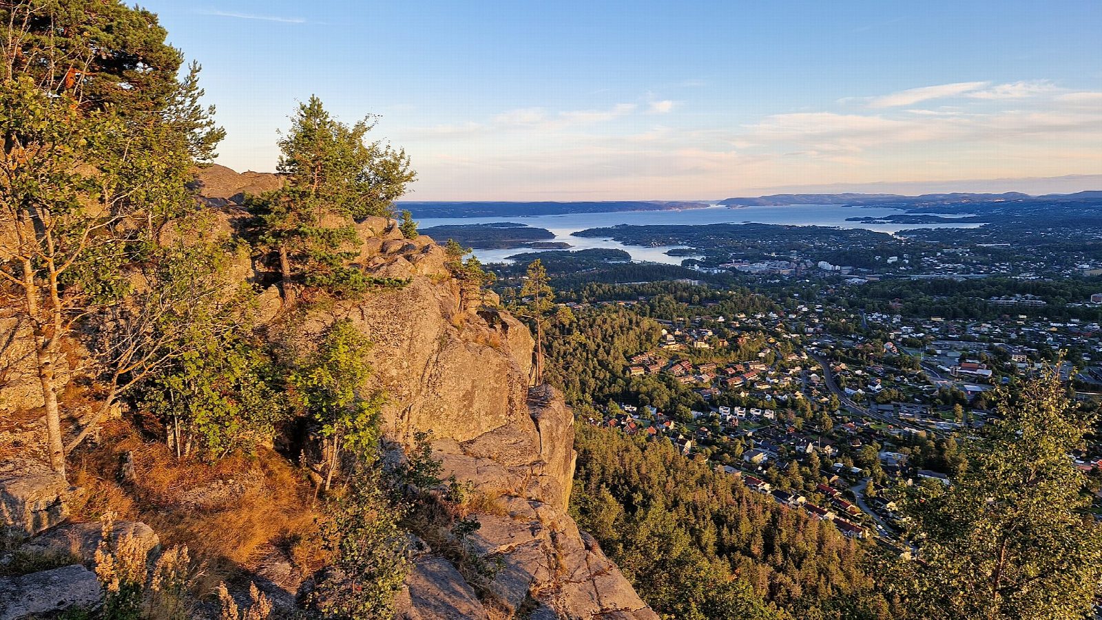
From the car park at Stein gård, follow the old road west under the power line to the blue-marked path that climbs through the woods to Nordre Kolsåstopp, 379 m. Drop back to the junction and go south past the little lake of Setertjern to Søndre Kolsåstopp, 342 m. The blue-marked way down the south side is steep at first, with railings and steps in places, and then a gravel road leads past KIF-hytta and back round to Stein gård.
It is 6.9 km round with 319 m of ascent; allow about 2½ hours. The grade is Easy: short, with two steep climbs and a steep descent on stony ground.
DNT Oslo og Omegn gives the season as March to October and promises a panorama over Oslo, Bærum and the Oslofjord from the tops. Both summits lie in a nature reserve, Kolsåstoppen naturreservat, so take care not to damage plants or rock.
Stein gård has a car park and a bus stop on the main road below the hill.
Route drawn by Global Adventurer along OpenStreetMap paths (© OpenStreetMap contributors, ODbL), with figures worked out from it. Check the forecast and the ground on the day: paths change.
Good to know
- Two tops, Nordre Kolsåstopp, 379 m, and Søndre Kolsåstopp, 342 m, with the small lake Setertjern between them
- The upper part of the descent from the south top is steep, with railings and steps in places
- Back past KIF-hytta on a gravel road
- Stein gård has a car park and a bus stop
Summits on the way
- Nordre Kolsåstopp 379 m
- Søndre Kolsåstopp 342 m
Getting there
Start: Stein gård. 59.93409, 10.54265
Places to stay nearby
Rooms in and around Oslo: Booking.com → Expedia →
Affiliate links: if you book, Global Adventurer earns a small commission at no cost to you.
Paths change, and the weather decides the day. The line and figures come from OpenStreetMap and our own checks; take a map, check the forecast, and turn back if it isn't right.