Line © OpenStreetMap contributors (ODbL), checked by Global Adventurer.
The hike
The walk starts at the Tamanawas Falls Trailhead on Highway 35, on the east side of Mount Hood. A footbridge crosses the East Fork Hood River, and the East Fork Trail runs along the far bank for about half a mile. The Tamanawas Falls Trail then turns up Cold Spring Creek and follows the water through forest. About a quarter of a mile before the end it crosses a field of boulders left by a rock slide in 2017, and it finishes in front of the falls. Return the same way.
It is 3.3 miles (5.3 km) round trip with 690 feet (209 m) of climbing; allow about 2 hours. The grade is Easy: a short walk with a gentle climb beside the creek.
The boulder field needs a little care, and spray makes the rocks near the falls slippery. Dogs are welcome and are best kept on a leash. There is usually no phone signal on the drive in. A junction near the falls leads on up towards Elk Meadows, a much longer walk.
A Northwest Forest Pass or a day pass is needed to park, and parking is along the side of the highway. Summer is the usual season for this walk.
Route drawn by Global Adventurer along OpenStreetMap paths (© OpenStreetMap contributors, ODbL), with figures worked out from it. Check the forecast and the ground on the day: paths change.
Good to know
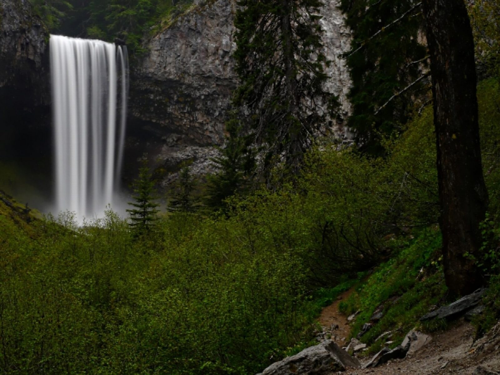
- A 30 m curtain of water on Cold Spring Creek, on Mount Hood's east side
- Starts on OR 35 with a footbridge over the East Fork Hood River
- Northwest Forest Pass needed; ice makes the trail treacherous in winter
Getting there
Start: Tamanawas Falls Trailhead. 45.39717, -121.57158
Places to stay nearby
Rooms in and around Oregon Cascades: Booking.com → Expedia →
Affiliate links: if you book, Global Adventurer earns a small commission at no cost to you.
Paths change, and the weather decides the day. The line and figures come from OpenStreetMap and our own checks; take a map, check the forecast, and turn back if it isn't right.