Line © OpenStreetMap contributors (ODbL), checked by Global Adventurer.
The hike
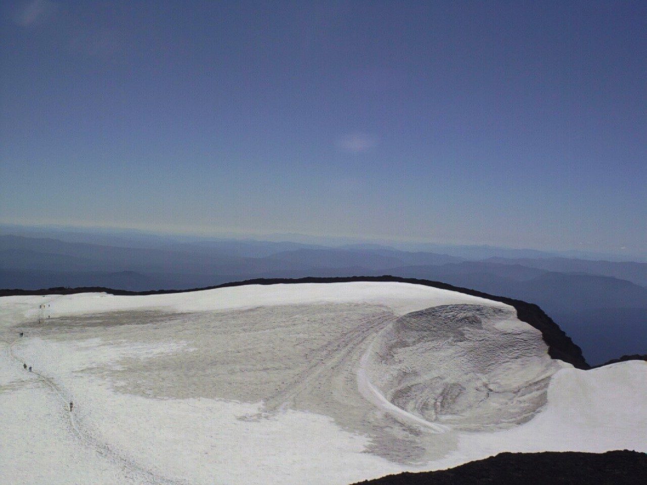
The walk starts at the Devils Lake Trailhead on the Cascade Lakes Highway, west of Bend. The South Sister Climber Trail climbs steeply through forest to the junction with the Moraine Lake Trail, then goes on over rugged ground and loose cinders to the rim of the summit crater. The crater holds Teardrop Pool, the highest lake in Oregon. Return the same way.
It is 12.1 miles (19.5 km) round trip with 4,760 feet (1,451 m) of climbing; allow about 10 hours. The grade is Strenuous: nearly 4,800 feet of climbing to more than 10,000 feet, much of it on loose cinders.
From June 15 to October 15 every walker needs a Central Cascades Wilderness day-use permit for this trailhead. Permits are released on Recreation.gov at 7 a.m. Pacific time, 10 days and 2 days ahead, and are good only for the day and trailhead named.
This is the easiest of the Three Sisters to climb, with a trail all the way, and in August and September up to 400 people a day go up. There are no toilets in the wilderness, and campfires are banned above 5,700 feet. Carry all the water you need, and be ready for cold and wind at the top. The Cascade Lakes Highway is closed by snow in winter; in 2026 the county listed it open from May 7.
Route drawn by Global Adventurer along OpenStreetMap paths (© OpenStreetMap contributors, ODbL), with figures worked out from it. Check the forecast and the ground on the day: paths change.
Good to know
- Oregon's third-highest peak, a climb without ropes over pumice and loose scree
- A Central Cascades Wilderness day-use permit is needed from June 15 to October 15
- Teardrop Pool in the summit crater is Oregon's highest lake; no water or shade up high
Summits on the way
- South Sister 10,364 ft (3,159 m)
Getting there
Start: Devils Lake Trailhead · Parking fee. 44.03489, -121.76571
Places to stay nearby
Rooms in and around Oregon Cascades: Booking.com → Expedia →
Affiliate links: if you book, Global Adventurer earns a small commission at no cost to you.
Paths change, and the weather decides the day. The line and figures come from OpenStreetMap and our own checks; take a map, check the forecast, and turn back if it isn't right.