Line © OpenStreetMap contributors (ODbL), checked by Global Adventurer.
The hike
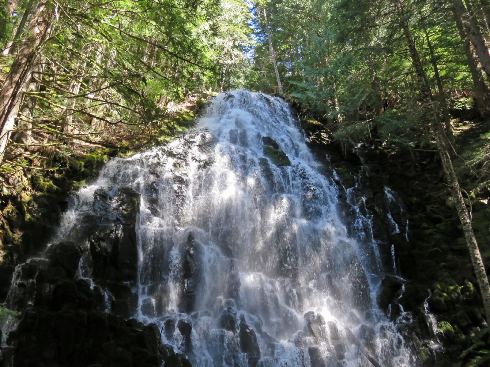
The walk starts at the Ramona Falls Trailhead, on the west side of Mount Hood. The Sandy River Trail follows the river upstream to the crossing, about a mile from the start. Beyond it the route joins the Pacific Crest Trail and then the Timberline Trail, climbing gently through forest to Ramona Falls, which fans out over a stepped wall of basalt. Our line returns the same way; many walkers come back by the trail along Ramona Creek, which makes a loop of about 7 miles.
It is 6.8 miles (10.9 km) round trip with 1,030 feet (313 m) of climbing; allow about 3½ hours. The grade is Moderate: a gentle climb, with one river crossing that can be serious.
There is no bridge over the Sandy River, and the Forest Service says none will be installed. Walkers cross on logs or by wading. The river comes off the glaciers of Mount Hood, and when it is running high the crossing is dangerous: turn back if you are in doubt.
A Northwest Forest Pass or a day pass is needed to park. The falls are in the Mount Hood Wilderness, and a free permit, filled in at the box on the trail, is required in the summer season. Check with the Zigzag Ranger District for the state of the river and the road before you go.
Route drawn by Global Adventurer along OpenStreetMap paths (© OpenStreetMap contributors, ODbL), with figures worked out from it. Check the forecast and the ground on the day: paths change.
Good to know
- A 37 m falls fanning out over columns of basalt in a mossy glade
- The Sandy River crossing has no bridge: logs or a ford, risky when meltwater runs high
- Northwest Forest Pass, and a free self-issue Mount Hood Wilderness permit at the trailhead
Getting there
Start: Ramona Falls Trailhead · Parking fee. 45.38695, -121.83224
Places to stay nearby
Rooms in and around Oregon Cascades: Booking.com → Expedia →
Affiliate links: if you book, Global Adventurer earns a small commission at no cost to you.
Paths change, and the weather decides the day. The line and figures come from OpenStreetMap and our own checks; take a map, check the forecast, and turn back if it isn't right.
