Line © OpenStreetMap contributors (ODbL), checked by Global Adventurer.
The walk
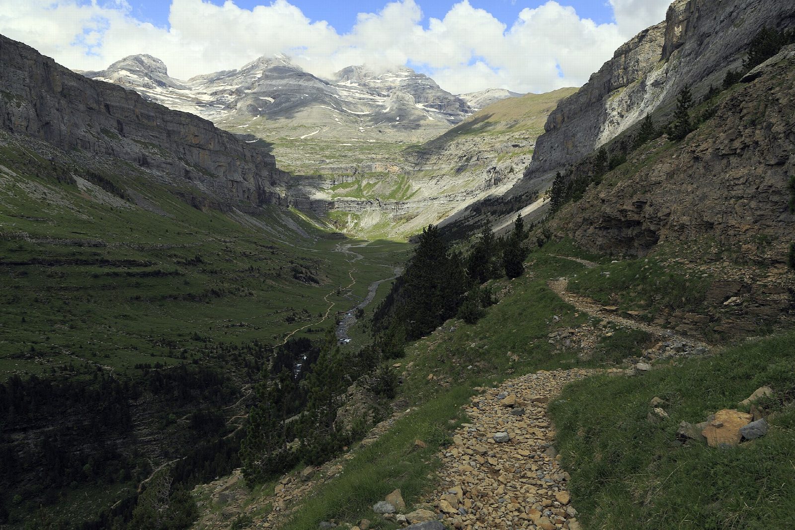
From the Pradera de Ordesa cross the Río Arazas and climb the Senda de los Cazadores, a relentless zigzag that gains more than 600 m in under 2 km, to the shelter and viewpoint of Calcilarruego. From there the Faja de Pelay runs almost level for kilometres along a ledge on the south wall of the valley, among black pines, with the cliffs opposite and Monte Perdido ahead. It comes down gently into the Circo de Soaso at the Cola de Caballo waterfall. Return down the valley floor by the Gradas de Soaso and the beech woods.
It is 19.3 km round with 742 m of climbing; allow about 7 hours. The grade is Hard: one very steep climb, then a narrow but good path and a long walk out.
Walk it in this direction only: the national park warns against coming down the Senda de los Cazadores, where there have been accidents. The park closes the Senda and the Faja in winter conditions, usually from November until late spring, so treat this as a walk for June to October and check before you go. There is little water on the faja.
At Easter, in summer and on most autumn weekends the road is closed to cars and a bus runs from Torla-Ordesa (€6 return).
Route drawn by Global Adventurer along OpenStreetMap paths (© OpenStreetMap contributors, ODbL), with figures worked out from it. Check the forecast and the ground on the day: paths change.
Good to know
- A steep climb by the Senda de los Cazadores to the Calcilarruego viewpoint, then a balcony path along the south wall of the valley
- The park says to walk it in this direction only: the Senda de los Cazadores is dangerous in descent
- Closed by the park in winter conditions, usually from November until late spring
- At Easter, in summer and on many autumn weekends the road is closed to cars and a bus runs from Torla-Ordesa
Getting there
Start: Pradera de Ordesa · Free parking. 42.64933, -0.05956
Places to stay nearby
Rooms in and around Ordesa and Monte Perdido: Booking.com → Expedia →
Affiliate links: if you book, Global Adventurer earns a small commission at no cost to you.
Paths change, and the weather decides the day. The line and figures come from OpenStreetMap and our own checks; take a map, check the forecast, and turn back if it isn't right.