Line © OpenStreetMap contributors (ODbL), checked by Global Adventurer.
The hike
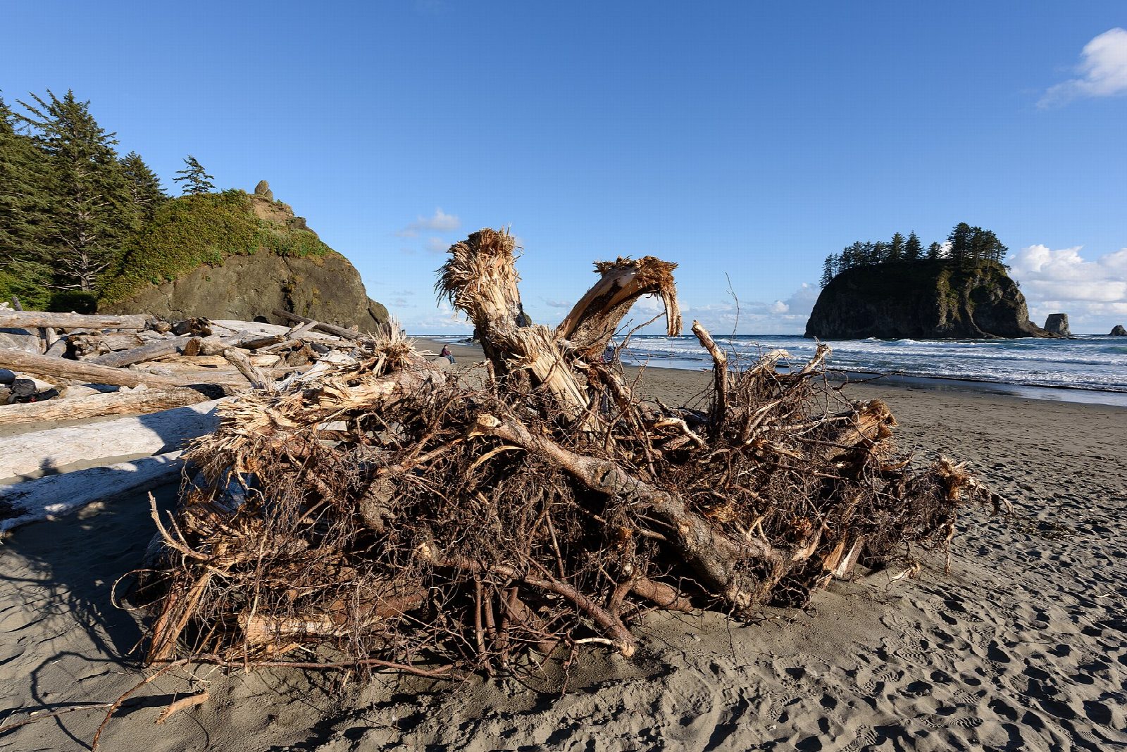
The walk starts at the Second Beach parking area on La Push Road, on Quileute tribal land just outside La Push. The trail runs through coastal forest for about half a mile, then drops down switchbacked steps to the beach, 0.7 miles from the road. Sea stacks stand offshore, and in the headland to the north there is a hole that the wind whistles through. Return the same way.
It is 1.4 miles (2.2 km) round trip with 240 feet (74 m) of climbing; allow about 45 minutes. The grade is Easy: a short walk, with one long flight of steps down to the beach and back up. The figures are for the trail alone; walking the length of the beach and back makes about 4 miles in all.
Know the tides before you go. The park warns that the headlands at either end, Quateata Head and Teahwhit Head, cannot be passed even at the lowest tide, so do not try to go round them. Pets are not allowed on the trail or the beach.
Since May 1, 2026, parking anywhere on Quileute tribal land, including this trailhead, costs $10 a day. Pay by phone at the trailhead, where the signal is unreliable, or at the Lonesome Creek Store, half a mile away. Camping on the beach needs a park wilderness permit.
Route drawn by Global Adventurer along OpenStreetMap paths (© OpenStreetMap contributors, ODbL), with figures worked out from it. Check the forecast and the ground on the day: paths change.
Good to know
- Through forest and down steep steps to sea stacks and a natural arch
- The trailhead is on Quileute land near La Push, and parking there costs a fee
- Tide pools at the north end are best explored at low tide
Getting there
Start: Second Beach Trailhead. 47.89817, -124.62390
Places to stay nearby
Rooms in and around Olympic National Park: Booking.com → Expedia →
Affiliate links: if you book, Global Adventurer earns a small commission at no cost to you.
Paths change, and the weather decides the day. The line and figures come from OpenStreetMap and our own checks; take a map, check the forecast, and turn back if it isn't right.
