Line © OpenStreetMap contributors (ODbL), checked by Global Adventurer.
The hike
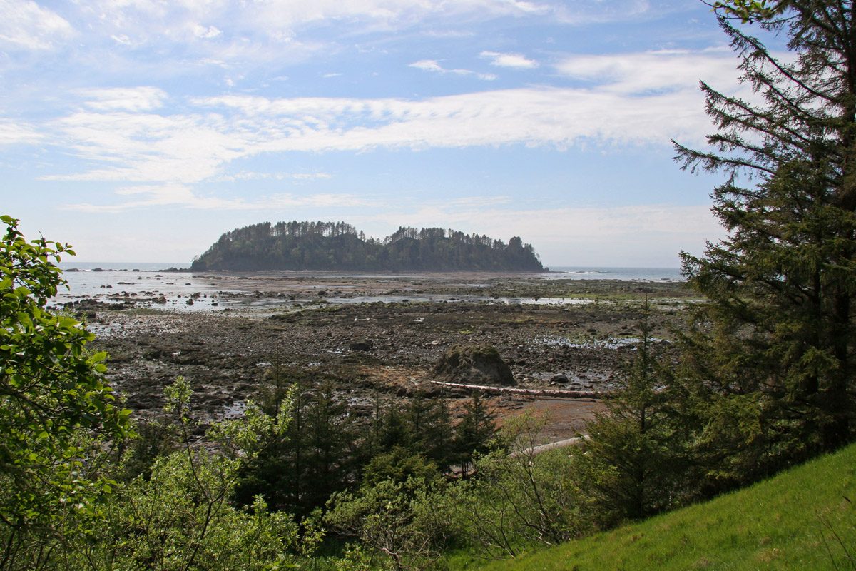
The walk starts at the parking area by the Ozette Ranger Station, at the end of the Hoko-Ozette Road, 21 miles from Highway 112. The Cape Alava Trail runs for 3.3 miles through forest and across Ahlstrom's Prairie, much of it on cedar boardwalk, to the beach at Cape Alava. Turn south and walk the beach for about three miles, past the Wedding Rocks, to Sand Point. From there the Sand Point Trail leads 2.8 miles back to the start, again mostly on boardwalk.
It is a 9.5-mile (15.3 km) loop with 440 feet (134 m) of climbing; allow about 4 hours. The grade is Moderate: long but nearly level, with rough going on the beach.
Carry a tide table and plan the beach around it. The park warns that some headlands cannot be rounded even at the lowest tides and must be crossed by the trails over them, and that walkers can be stranded by a rising tide. The boardwalks can be slick in the wet. Pets are not allowed.
A day walk needs no permit; camping at Cape Alava or Sand Point does, and must be booked. Tskawahyah (Cannonball) Island, off the cape, belongs to the Ozette Reservation and is closed to the public. State Route 112 on the way in is often closed or diverted. Entry to the park costs $30 per vehicle for seven days.
Route drawn by Global Adventurer along OpenStreetMap paths (© OpenStreetMap contributors, ODbL), with figures worked out from it. Check the forecast and the ground on the day: paths change.
Good to know
- Cedar boardwalks through coastal forest to Cape Alava, the westernmost point of the lower 48
- The beach walk between the capes passes the Wedding Rocks petroglyphs
- Some headlands can only be rounded at low tide; the boardwalks are slippery when wet
Getting there
Start: Ozette Ranger Station. 48.15519, -124.66889
Places to stay nearby
Rooms in and around Olympic National Park: Booking.com → Expedia →
Affiliate links: if you book, Global Adventurer earns a small commission at no cost to you.
Paths change, and the weather decides the day. The line and figures come from OpenStreetMap and our own checks; take a map, check the forecast, and turn back if it isn't right.
