Line © OpenStreetMap contributors (ODbL), checked by Global Adventurer.
The hike
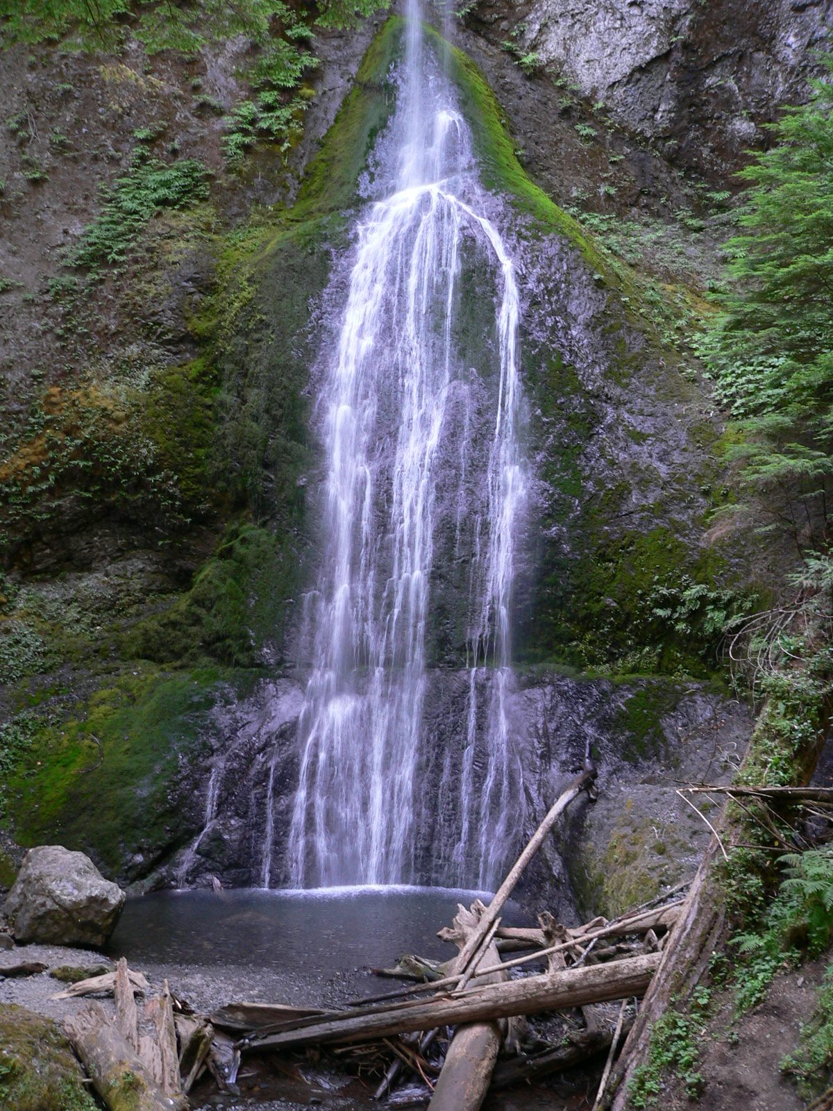
The walk starts at the parking area by the Storm King Ranger Station, on Barnes Point at Lake Crescent. The Marymere Falls Nature Trail runs almost level through old-growth forest of tall conifers, sword ferns and moss, following Barnes Creek. Near the end it crosses the creek and climbs steps to a short loop with two viewpoints of the falls, one from above and one from the foot, where the water drops 90 feet down a rock face. Return the same way.
It is 2.1 miles (3.3 km) round trip with 530 feet (162 m) of climbing; allow about 1¼ hours. The grade is Easy: short and mostly level, with steps at the end.
About a mile of the trail is smooth enough for wheelchairs, but the viewpoints can be reached only by the steps. Pets are not allowed. The steep trail up Mount Storm King branches off the same path; it climbs 2,100 feet in 2.1 miles and is a far harder outing. There are toilets at the trailhead.
The falls were named for Mary Alice Barnes, sister of a member of the Press Expedition that explored the Olympics. The Lake Crescent trailheads were open when checked on September 30, 2026. Entry to the park costs $30 per vehicle for seven days.
Route drawn by Global Adventurer along OpenStreetMap paths (© OpenStreetMap contributors, ODbL), with figures worked out from it. Check the forecast and the ground on the day: paths change.
Good to know
- A 27 m waterfall in a fern-hung ravine near Lake Crescent
- Level through old growth at first, then steps to the upper and lower viewpoints
- The steep Mount Storm King trail branches off the same path
Getting there
Start: Storm King Ranger Station. 48.05802, -123.78954
Places to stay nearby
Rooms in and around Olympic National Park: Booking.com → Expedia →
Affiliate links: if you book, Global Adventurer earns a small commission at no cost to you.
Paths change, and the weather decides the day. The line and figures come from OpenStreetMap and our own checks; take a map, check the forecast, and turn back if it isn't right.