Line © OpenStreetMap contributors (ODbL), checked by Global Adventurer.
The hike
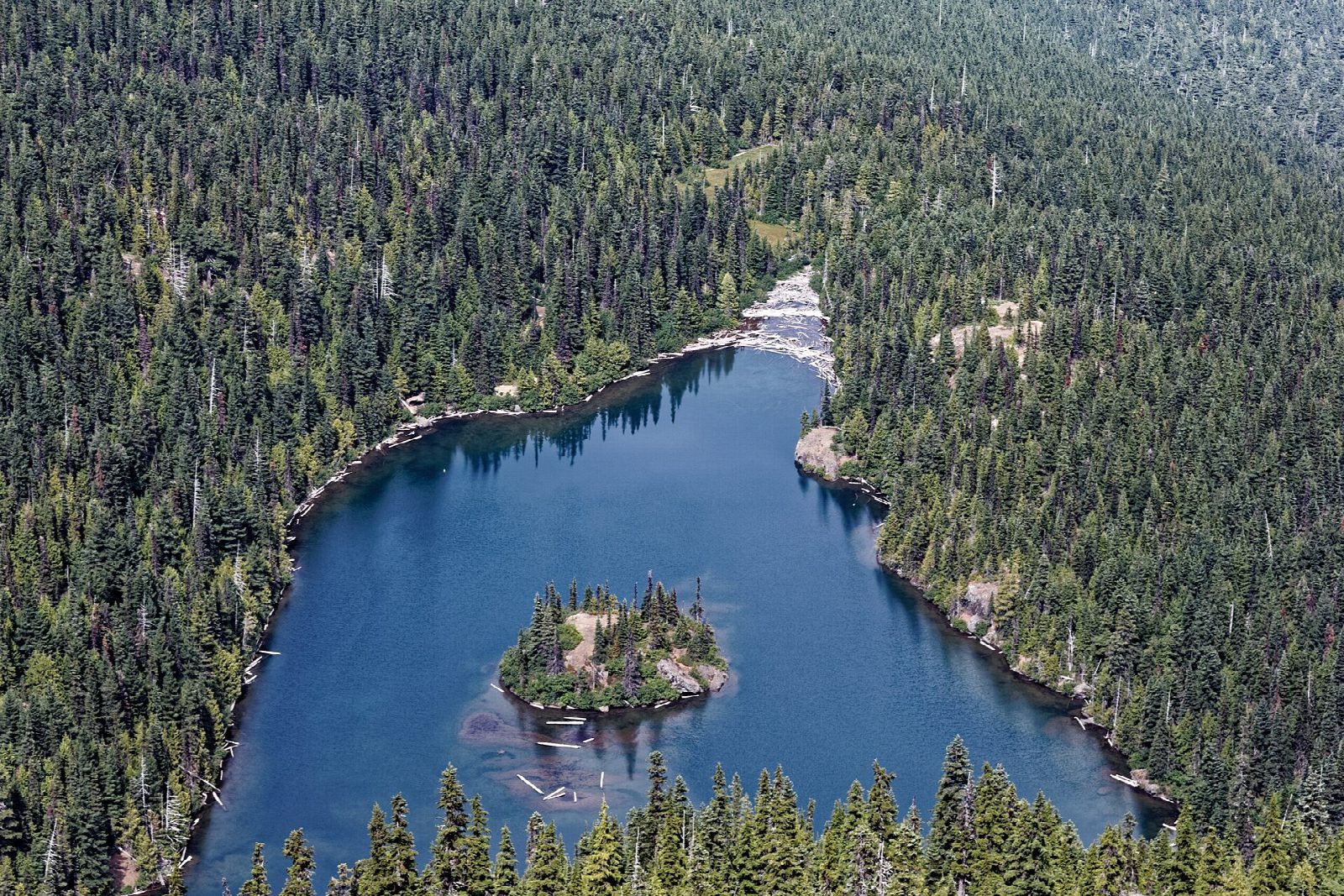
The walk starts at the trailhead parking at Heart O' the Hills, on Hurricane Ridge Road about 5 miles from Port Angeles, just before the park entrance station. The Lake Angeles Trail begins beside the Heather Park trailhead, crosses Ennis Creek on a footbridge and then climbs without a break through hemlock forest. After about three and a half miles it reaches Lake Angeles, a 20-acre lake in a glacier-cut bowl, with an island in the middle and cliffs rising behind. Return the same way.
It is 7.0 miles (11.3 km) round trip with 2,340 feet (712 m) of climbing; allow about 5 hours. The grade is Moderate: a long, steady climb of more than 2,300 feet, all of it in forest.
There is a meadow near the lake where black-tailed deer are often seen. Campsites lie at the north end of the lake; camping needs a wilderness permit booked in advance, and campfires are not allowed. Pets and bicycles are not permitted on park trails. The trail carries on for another 2.9 miles and 1,750 feet to Klahhane Ridge, which is well beyond this walk.
The lake sits at about 4,200 feet, so expect snow on the upper trail in winter and spring. Entry to the park costs $30 per vehicle for seven days.
Route drawn by Global Adventurer along OpenStreetMap paths (© OpenStreetMap contributors, ODbL), with figures worked out from it. Check the forecast and the ground on the day: paths change.
Good to know
- A steady forest climb to a cirque lake with a small island in the middle
- Klahhane Ridge and Mount Angeles rise straight above the water
- Starts just past the Heart O' the Hills entrance station on Hurricane Ridge Road
Getting there
Start: Lake Angeles Trailhead, Heart O' the Hills. 48.03905, -123.43149
Places to stay nearby
Rooms in and around Lake Angeles Trailhead: Booking.com → Expedia →
Affiliate links: if you book, Global Adventurer earns a small commission at no cost to you.
Paths change, and the weather decides the day. The line and figures come from OpenStreetMap and our own checks; take a map, check the forecast, and turn back if it isn't right.