Line © OpenStreetMap contributors (ODbL), checked by Global Adventurer.
The hike
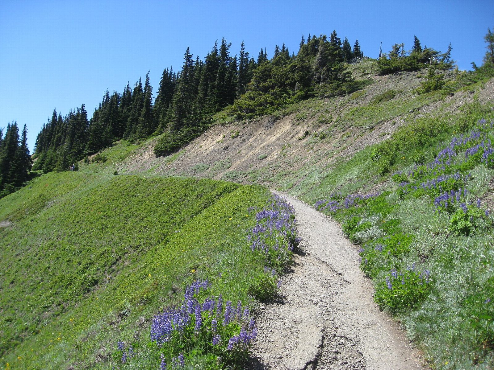
The walk starts at the Hurricane Hill Trailhead, at the end of the Hurricane Hill Road, 1.5 miles beyond the Hurricane Ridge parking area. The trail is paved and about eight feet wide. It runs out along the ridge, then climbs in three long switchbacks to the open summit of Hurricane Hill, at 5,757 feet. The view takes in the Bailey Range to the south and, to the north, Port Angeles, the Strait of Juan de Fuca and Vancouver Island. Return the same way.
It is 3.2 miles (5.2 km) round trip with 660 feet (201 m) of climbing; allow about 1¾ hours. The grade is Easy: a short climb on a paved path, though the upper part is steep.
The summit is exposed and the wind can rise quickly, so take a windproof layer. Pets are not allowed on park trails. The Hurricane Hill Road is narrow, winding and steep in places, and is not suitable for RVs or buses; in 2026 the park listed it open from July 3. The day lodge at Hurricane Ridge was destroyed by fire in 2023.
From late November to the end of March the Hurricane Ridge Road is usually open only from Friday to Sunday, weather permitting, and every vehicle must carry tire chains from November 1 to April 1. Entry to the park costs $30 per vehicle for seven days.
Route drawn by Global Adventurer along OpenStreetMap paths (© OpenStreetMap contributors, ODbL), with figures worked out from it. Check the forecast and the ground on the day: paths change.
Good to know
- A paved path to a summit facing Mount Olympus, the Bailey Range and the Strait of Juan de Fuca
- The road past Hurricane Ridge opens in summer only; the day lodge burned down in 2023
- Watch for Olympic marmots, found nowhere else in the world; no dogs on the trail
Summits on the way
- Hurricane Hill 5,764 ft (1,757 m)
Getting there
Start: Hurricane Hill Trailhead. 47.97629, -123.51763
Places to stay nearby
Rooms in and around Olympic National Park: Booking.com → Expedia →
Affiliate links: if you book, Global Adventurer earns a small commission at no cost to you.
Paths change, and the weather decides the day. The line and figures come from OpenStreetMap and our own checks; take a map, check the forecast, and turn back if it isn't right.