Line © OpenStreetMap contributors (ODbL), checked by Global Adventurer.
The hike
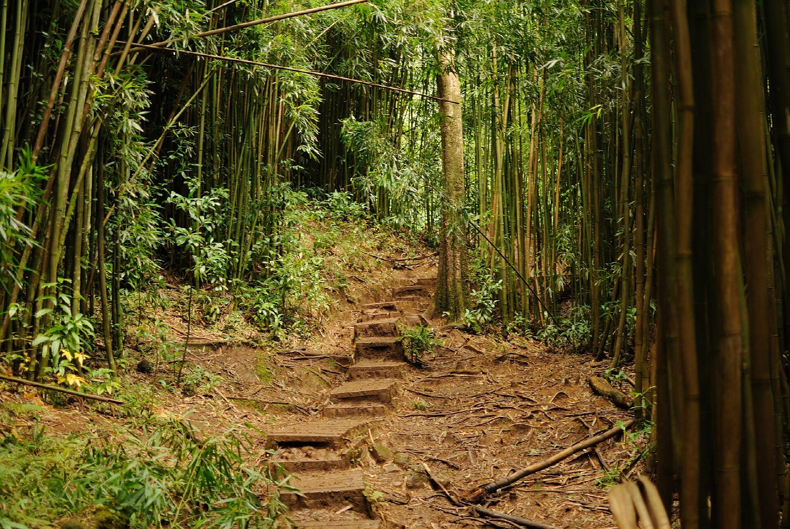
The walk starts at the Paradise Park car park at the end of Mānoa Road. Walk up the lane past the turn for Lyon Arboretum and on through the gate to the trailhead. The Mānoa Falls Trail crosses ʻAihualama Stream on a bridge and follows Waihī Stream up the valley, through tangles of hau, tall forest and a bamboo grove. It passes the signed junction with the ʻAihualama Trail and ends at the viewing area below Mānoa Falls, which drop about 150 feet down a cliff. Return the same way.
It is 1.8 miles (2.9 km) round trip with 470 feet (142 m) of climbing; allow about an hour. The grade is Easy: short and steady, on a well-made path that is slippery when wet.
The State charges nothing to hike. The car park is run by Paradise Park, and the State's trail page gives its fee as $5; don't park on the lane above it. Don't start after 5:30 pm.
The path is muddy after rain, which is often, and the stream can flood: avoid it in heavy rain. Stay behind the rock wall at the falls. Rocks fall from the cliff and people have died here, so do not go into the pool or climb above it. Stream water and mud in Hawaii can carry leptospirosis: don't drink it.
Route drawn by Global Adventurer along OpenStreetMap paths (© OpenStreetMap contributors, ODbL), with figures worked out from it. Check the forecast and the ground on the day: paths change.
Good to know
- Up a rainforest valley under bamboo, banyans and tree ferns to a waterfall about 150 feet high
- Paid parking at Paradise Park, at the end of Mānoa Road; the path is muddy and slippery after rain, which is often
- Don't swim in the pool: rocks fall from the cliff and the water can carry leptospirosis
Getting there
Start: Paradise Park car park, Mānoa Road. 21.33136, -157.80124
Places to stay nearby
Rooms in and around Paradise Park car park: Booking.com → Expedia →
Affiliate links: if you book, Global Adventurer earns a small commission at no cost to you.
Paths change, and the weather decides the day. The line and figures come from OpenStreetMap and our own checks; take a map, check the forecast, and turn back if it isn't right.