Line © OpenStreetMap contributors (ODbL), checked by Global Adventurer.
The hike
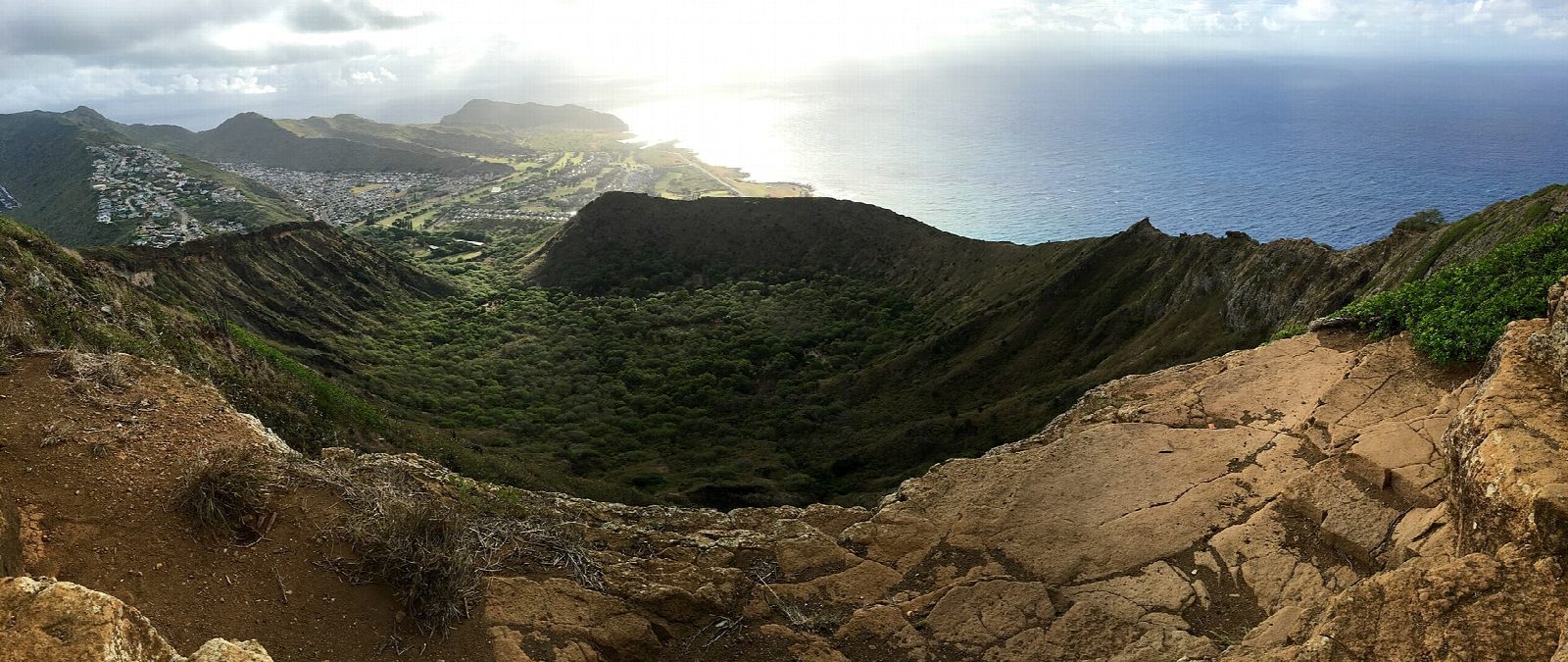
The walk starts at the car park in Koko Head District Park in Hawaiʻi Kai, entered from Anapālau Street. A path leads past the ball field to the foot of the Koko Crater Tramway, a wartime incline that carried supplies to military lookouts on the rim. The ties of the old track climb the crater wall in one straight line, more than 1,000 of them, and they get steeper as they go. About halfway up, the track crosses a gap on a trestle with daylight between the ties. The ties end at the summit of Koko Crater, also called Kohelepelepe, by a viewing platform and the sealed wartime bunkers. Return the same way.
It is 1.6 miles (2.6 km) round trip with 960 feet (293 m) of climbing; allow about 2 hours. The grade is Moderate: very short, but as steep as a staircase all the way and in full sun.
The City and County of Honolulu owns the tramway, and volunteers of the Kokonut Koalition keep it in repair. There is no fee and no reservation. There is no shade and no water: start at dawn and carry plenty to drink. Take the descent slowly, as the ties are of uneven height. The park is closed from 11 pm to 4 am.
Route drawn by Global Adventurer along OpenStreetMap paths (© OpenStreetMap contributors, ODbL), with figures worked out from it. Check the forecast and the ground on the day: paths change.
Good to know
- About 1,048 old tramway ties climb straight up the crater wall: no switchbacks and no shade
- The tramway was built in the Second World War to supply lookout bunkers that still stand at the top
- It gets very hot by mid-morning: start at dawn and carry more water than you think you need
Summits on the way
- Koko Crater Lookout 1,201 ft (366 m)
Getting there
Start: Koko Head District Park · Free parking. 21.27779, -157.69297
Places to stay nearby
Rooms in and around Oahu: Booking.com → Expedia →
Affiliate links: if you book, Global Adventurer earns a small commission at no cost to you.
Paths change, and the weather decides the day. The line and figures come from OpenStreetMap and our own checks; take a map, check the forecast, and turn back if it isn't right.