Line © OpenStreetMap contributors (ODbL), checked by Global Adventurer.
The walk
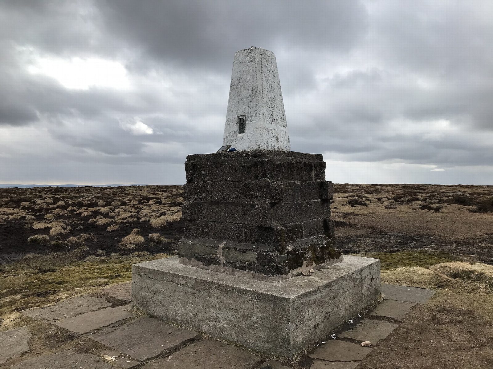
From the road end below Langleeford the walk follows the Harthope Burn up its valley, past the farm at Langleeford Hope and the waterfall of Harthope Linn. It climbs steadily to Scotsman's Knowe and on to Cairn Hill on the Pennine Way, then follows the flagged path across the peat to the summit of The Cheviot, at 815 m the highest hill in Northumberland. The way down runs north-east along the broad ridge over Scald Hill and drops back into the valley.
It is 13.1 km with 596 m of ascent; allow about 5 hours. The grade is Moderate. The summit plateau is peat bog, crossed on flagstones.
The Cheviot is often in cloud and the plateau is featureless: carry a map and compass. Away from the flags the peat is deep and wet. The weather on the tops can be much worse than in the valley. Sheep graze the hills, so keep dogs on leads.
There is no car park: park on the verges near the bridge over the Harthope Burn below Langleeford. There is no station near; the nearest is Chathill, about 24 km away.
Route drawn by Global Adventurer along OpenStreetMap paths (© OpenStreetMap contributors, ODbL), with figures worked out from it. Check the forecast and the ground on the day: paths change.
Good to know
- Up the Harthope valley past Harthope Linn
- Over Scotsman's Knowe to Cairn Hill on the Pennine Way
- The Cheviot, at 815 m the highest hill in Northumberland
- Down by Scald Hill back to the valley
Summits on the way
- Cairn Hill 777 m · passed close by
- Scald Hill 549 m · passed close by
Getting there
Start: Langleeford. 55.49300, -2.08150
Places to stay nearby
Rooms in and around Chathill: Booking.com → Expedia →
Affiliate links: if you book, Global Adventurer earns a small commission at no cost to you.
Paths change, and the weather decides the day. The line and figures come from OpenStreetMap and our own checks; take a map, check the forecast, and turn back if it isn't right.