Line © OpenStreetMap contributors (ODbL), checked by Global Adventurer.
The walk
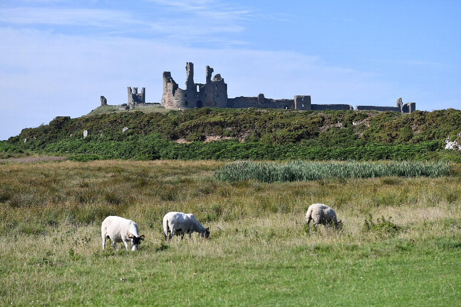
From the car park in the old quarry at Craster the walk heads north inland, past the line of whinstone ridges called the Heughs, by Dunstan Square to the farm at Dunstan Steads. It crosses the golf course to the dunes of Embleton Bay, a long sweep of sand. The way back follows the coast south past the cliffs of Gull Crag and below Dunstanburgh Castle, a 14th-century ruin on its headland, then along the grassy cliff-top path to Craster harbour.
It is 7.5 km with 56 m of ascent; allow about 2 hours. The grade is Easy. It is almost level, on field paths, tracks and grass.
The coast path is open to the wind and can be muddy. Cattle and sheep graze the fields by the castle, so keep dogs on leads. The castle is run by English Heritage and charges for entry; the path passes outside its walls. Kittiwakes nest on Gull Crag in summer.
The Craster Quarry car park is pay and display. There is no station near; the nearest is Alnmouth, about 9 km away.
Route drawn by Global Adventurer along OpenStreetMap paths (© OpenStreetMap contributors, ODbL), with figures worked out from it. Check the forecast and the ground on the day: paths change.
Good to know
- From Craster harbour inland past the Heughs and Dunstan Square
- Down to Embleton Bay's dunes
- Back along the coast past Dunstanburgh Castle, a 14th-century ruin
- Craster is known for its kippers
Getting there
Start: Craster Quarry car park · Pay and display. 55.47089, -1.59592
Places to stay nearby
Rooms in and around Alnmouth: Booking.com → Expedia →
Affiliate links: if you book, Global Adventurer earns a small commission at no cost to you.
Paths change, and the weather decides the day. The line and figures come from OpenStreetMap and our own checks; take a map, check the forecast, and turn back if it isn't right.