Line © OpenStreetMap contributors (ODbL), checked by Global Adventurer.
The walk
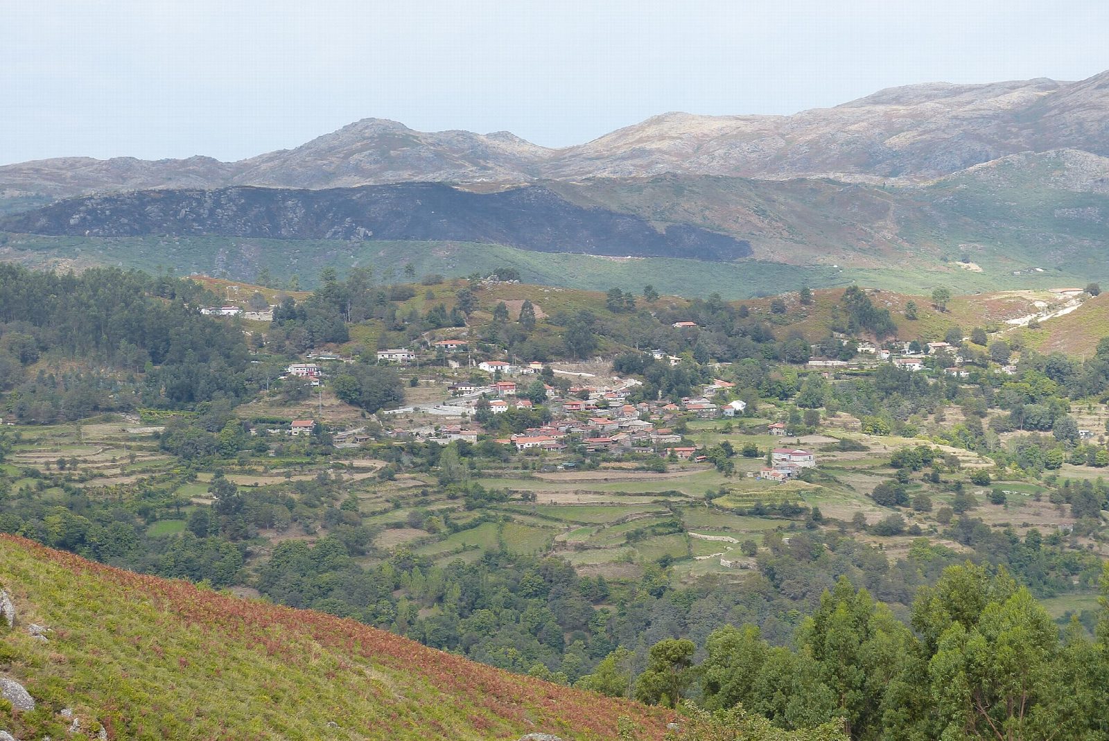
From the trail board at Calvário in Covide, take the track south-east out of the village, then a rough path climbing through granite boulders to the Iron Age hill fort of Calcedónia on the Fraga da Cidade. Pass below its walls and go east to the high point of the loop, which runs anticlockwise. Turn north along the eastern slope on a stony path, then follow forest tracks west down to the Rua da Geira, named after a Roman road, which leads back to Calvário.
It is 7.7 km round with 410 m of ascent; allow about 3 hours. The grade is Moderate: rough, rocky mountain paths with steep stretches, slippery when wet. Terras de Bouro council rates the trail difficult and allows 4 hours.
The loop lies in Peneda-Gerês National Park, which asks walkers to check the fire-risk forecast first: on days of very high risk, access to forest land can be restricted. Avoid storms and fog. The marked path keeps out of the Fenda da Calcedónia, a rock cleft that needs hands-on climbing; do not try it.
The council says there is parking at the start, by the Calvário square near the EN307 and EN304 junction. No practical public transport to Covide is known; the nearest railway station is Braga, about 45 km by road.
Route drawn by Global Adventurer along OpenStreetMap paths (© OpenStreetMap contributors, ODbL), with figures worked out from it. Check the forecast and the ground on the day: paths change.
Good to know
- Calcedónia was a walled Iron Age settlement on a granite crag above Covide, later used in Roman times
- The loop lies in Peneda-Gerês, Portugal's only national park
- Weathered granite forms boulders and balanced blocks along the way
- The return follows the Rua da Geira, named after the Roman road from Braga to Astorga
Summits on the way
- Calcedónia 909 m · passed close by
Getting there
Start: Calvário, Covide. 41.73421, -8.21089
Places to stay nearby
Rooms in and around Calvário: Booking.com → Expedia →
Affiliate links: if you book, Global Adventurer earns a small commission at no cost to you.
Paths change, and the weather decides the day. The line and figures come from OpenStreetMap and our own checks; take a map, check the forecast, and turn back if it isn't right.