Line © OpenStreetMap contributors (ODbL), checked by Global Adventurer.
The walk
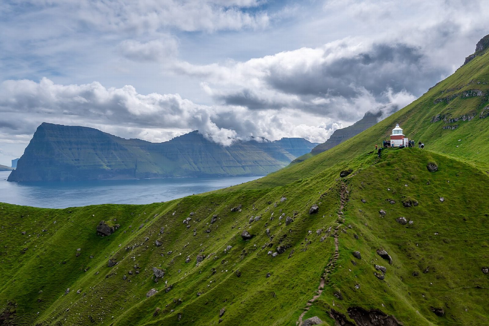
From the car park by the bus stop in Trøllanes, walk west through the village and up the farm track to the gate. The path then climbs north-west up the valley and over grassy slopes towards the northern tip of Kalsoy. It ends at Kallur lighthouse on the headland, looking across to Kunoy and the open Atlantic. Return the same way. The walk stops there: the knife-edge ridge beyond is very exposed and is not part of it.
It is 3.9 km there and back with 178 m of ascent; allow about 1½ hours. The grade is Easy: a farm track, then a grassy path up a steady slope, muddy after rain.
The landowners charge a hiking fee: DKK 200 for adults, DKK 100 for ages 13 to 17, under 13 free. Pay on site; cards are accepted, and no guide is needed. Near the lighthouse there are sheer, unfenced cliffs on both sides. Fog and gales come in quickly, and sheep graze the hill.
Parking in Trøllanes is limited, so the bus is the better way. Take the SSL ferry from Klaksvík to Syðradalur, about 20 minutes (in winter about 7 sailings on weekdays and 5 at weekends), then bus 506 to Trøllanes, timed to the ferry. Many bus trips run only on request: book at least an hour ahead on +298 234427.
Route drawn by Global Adventurer along OpenStreetMap paths (© OpenStreetMap contributors, ODbL), with figures worked out from it. Check the forecast and the ground on the day: paths change.
Good to know
- Kallur lighthouse stands on the northern tip of Kalsoy, looking across to Kunoy and the open Atlantic
- Trøllanes, at the end of a road through four tunnels, has only a handful of residents
- The walk stops at the lighthouse: the knife-edge ridge beyond it is very exposed
- Ferry from Klaksvík to Syðradalur, then a bus to Trøllanes that often runs only on request
Getting there
Start: Trøllanes car park. 62.36151, -6.78873
Places to stay nearby
Rooms in and around Northern Isles: Booking.com → Expedia →
Affiliate links: if you book, Global Adventurer earns a small commission at no cost to you.
Paths change, and the weather decides the day. The line and figures come from OpenStreetMap and our own checks; take a map, check the forecast, and turn back if it isn't right.