Line © OpenStreetMap contributors (ODbL), checked by Global Adventurer.
The walk
The walk starts from the Abbey Headland car park beside Whitby Abbey and makes a circuit. The Cleveland Way leaves the headland along the cliff top, passes above Saltwick Nab and Saltwick Bay, and goes on past the fog signal station and the lighthouse. About 1.5 km beyond the lighthouse the route turns inland at Gnipe Howe and follows a farm track and lane to the Cinder Track, the old railway from Scarborough. This runs north-west through Hawsker and Stainsacre and crosses the River Esk on the tall brick arches of Larpool Viaduct. Streets lead down to the harbour and the swing bridge, and Church Street and the 199 steps climb back to the abbey.
It is 13.4 km with 265 m of ascent; allow about 4 hours. The grade is Moderate: it is a long but mostly level walk; the cliff path has some steps and can be muddy.
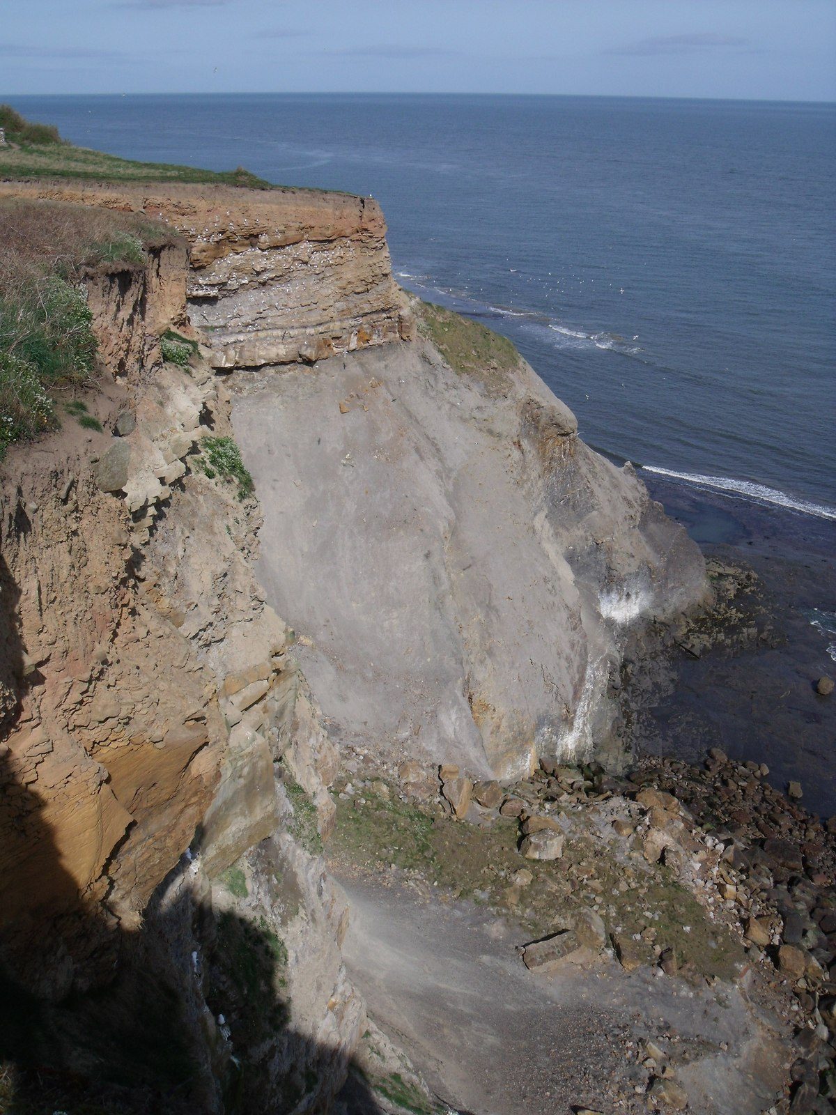
The cliffs are unstable in places: keep to the path and away from the edge. The shore between Whitby and Saltwick can be walked only at low tide; this route stays on the cliff top.
The car park is run by North Yorkshire Council and costs £10.20 for up to six hours from March to October. Whitby station, on the Esk Valley line, is passed on the way back, about 1 km before the end.
Route drawn by Global Adventurer along OpenStreetMap paths (© OpenStreetMap contributors, ODbL), with figures worked out from it. Check the forecast and the ground on the day: paths change.
Good to know
- Whitby Abbey on its headland and the 199 steps down to the old town
- The Cleveland Way above Saltwick Nab and Saltwick Bay
- Past the fog signal station and the lighthouse
- Back along the Cinder Track over Larpool Viaduct, high above the River Esk
Getting there
Start: Abbey Headland car park, Whitby · Pay and display. 54.48615, -0.60473
By train: Whitby station is 0.7 km from the start.
Places to stay nearby
Rooms in and around Abbey Headland car park: Booking.com → Expedia →
Affiliate links: if you book, Global Adventurer earns a small commission at no cost to you.
Paths change, and the weather decides the day. The line and figures come from OpenStreetMap and our own checks; take a map, check the forecast, and turn back if it isn't right.