Line © OpenStreetMap contributors (ODbL), checked by Global Adventurer.
The walk
The walk starts from the National Park car park at Chop Gate in Bilsdale and makes a circuit. From the village a bridleway, Cold Moor Lane, climbs onto the long ridge of Cold Moor and follows it north to its end. The route turns east on the Cleveland Way, drops to Garfit Gap and climbs through the Wainstones, a jumble of sandstone pinnacles and boulders, onto Hasty Bank. A steep descent leads to the road at Clay Bank Top. Beyond it the Cleveland Way climbs Carr Ridge onto Urra Moor, and the route comes down through Urra and Seave Green to Chop Gate.
It is 13.4 km with 487 m of ascent; allow about 4¾ hours. The grade is Moderate: there are three climbs, and the path through the Wainstones and off Hasty Bank is steep and rocky.
The National Park warns that the going can be wet and boggy in parts and that conditions change quickly, even in summer. Dogs must be on a short lead or to heel at all times, and on a short lead from 1 March to 31 July, when birds nest on the ground.
The car park costs £3.90 for up to two hours or £6.20 for longer and has toilets. The free Forestry car park at Clay Bank, on the route, is another place to start. There is no station nearby.
Route drawn by Global Adventurer along OpenStreetMap paths (© OpenStreetMap contributors, ODbL), with figures worked out from it. Check the forecast and the ground on the day: paths change.
Good to know
- The Wainstones, a jumble of sandstone pinnacles on the edge of the Cleveland Hills
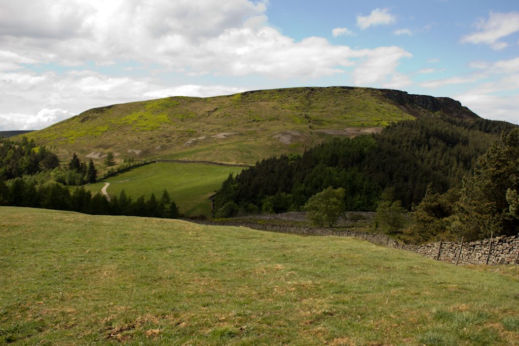
- Along the ridge of Cold Moor and over Hasty Bank on the Cleveland Way
- Wide views north over the Cleveland plain to Roseberry Topping
- Back over the edge of Urra Moor into Bilsdale
Summits on the way
- White Hill 398 m · passed close by
Getting there
Start: Chop Gate car park · Pay and display. 54.38647, -1.14078
Places to stay nearby
Rooms in and around Battersby: Booking.com → Expedia →
Affiliate links: if you book, Global Adventurer earns a small commission at no cost to you.
Paths change, and the weather decides the day. The line and figures come from OpenStreetMap and our own checks; take a map, check the forecast, and turn back if it isn't right.

