Line © OpenStreetMap contributors (ODbL), checked by Global Adventurer.
The walk
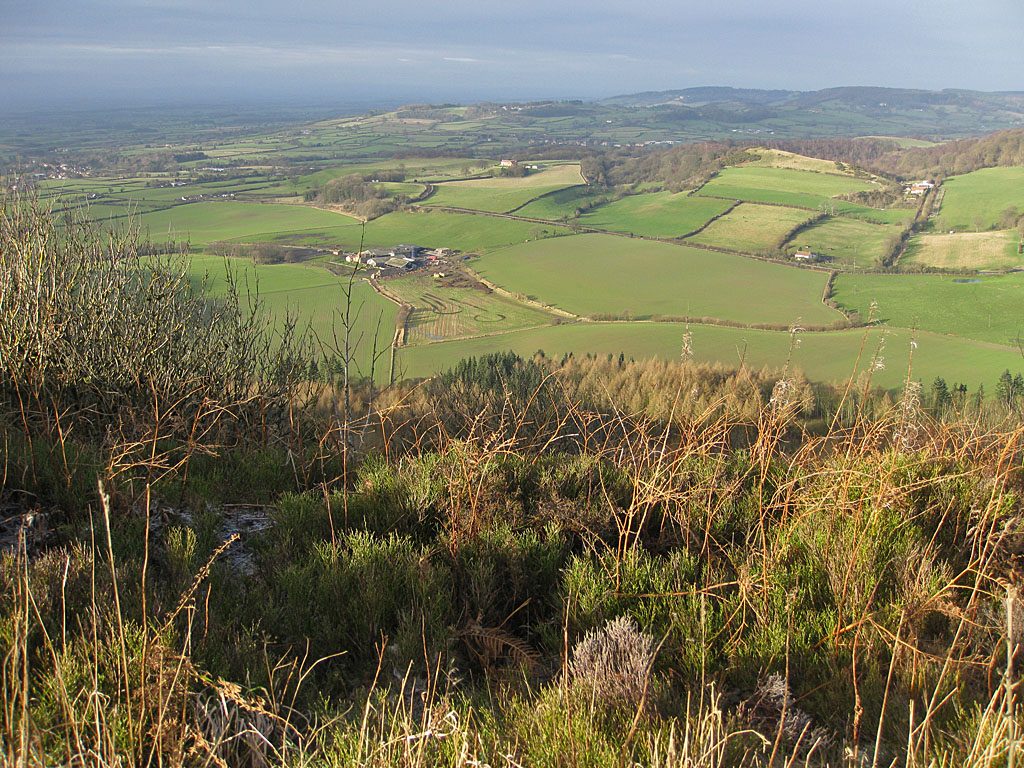
The walk starts from the Sutton Bank National Park Centre and makes a circuit along and below the escarpment. It crosses the A170 and follows the Cleveland Way south along the cliff edge, past the Yorkshire Gliding Club's airfield, with wide views over the Vale of York. Part of the way along, a path drops through the woods and runs below the cliffs to the car park under the White Horse of Kilburn, a figure cut into the hillside in 1857. Steep stone steps climb beside the horse to the top of the bank, and the edge path leads back north to the Centre.
It is 5.2 km with 91 m of ascent; allow about 1½ hours. The grade is Easy: the only climb is the flight of steps beside the White Horse.
The cliff edge is unfenced. The National Park says it is never safe to walk onto the gliding club's land: gliders come in from any direction and make no sound. It asks for dogs to be on a lead at all times on this path. The descent through the woods is muddy and slippery when wet, and the A170 at the start is busy.
The car park at the Centre costs £3.90 for up to two hours or £6.20 for longer. The Centre has toilets and a café. There is no station nearby.
Route drawn by Global Adventurer along OpenStreetMap paths (© OpenStreetMap contributors, ODbL), with figures worked out from it. Check the forecast and the ground on the day: paths change.
Good to know
- The White Horse of Kilburn, cut into the hillside in 1857
- Along the cliff edge of Sutton Bank, with views over the Vale of York
- Past the Yorkshire Gliding Club's airfield
- Steep stone steps beside the horse
Getting there
Start: Sutton Bank National Park Centre · Pay and display. 54.24041, -1.21073
Places to stay nearby
Rooms in and around Thirsk: Booking.com → Expedia →
Affiliate links: if you book, Global Adventurer earns a small commission at no cost to you.
Paths change, and the weather decides the day. The line and figures come from OpenStreetMap and our own checks; take a map, check the forecast, and turn back if it isn't right.