Line © OpenStreetMap contributors (ODbL), checked by Global Adventurer.
The walk
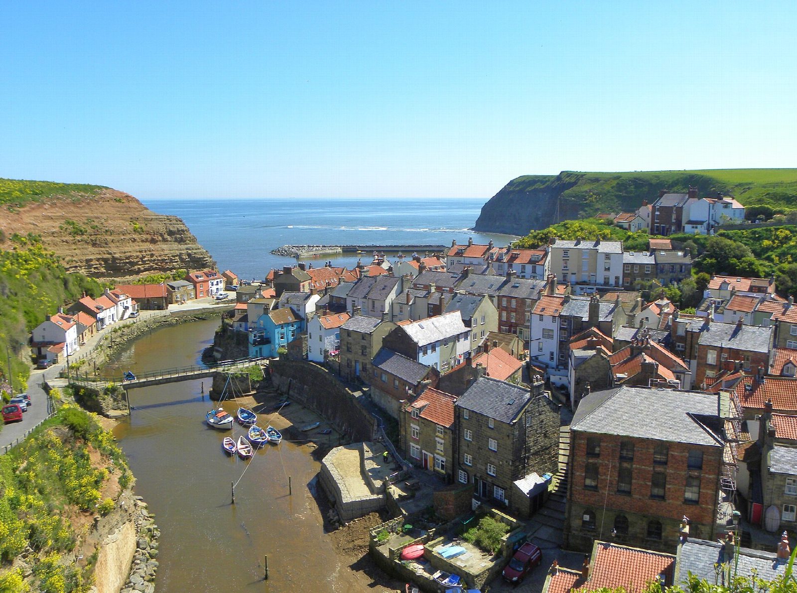
The walk starts from the Bank Top car park at Staithes and follows the Cleveland Way along the coast to Runswick Bay. It goes down the steep hill into the old fishing village, round the harbour and up Church Street to the cliff top. The path crosses fields set back from the edge, then follows the cliffs to the hamlet of Port Mulgrave, where ironstone was once shipped from a small harbour below. It continues along the cliff top to Runswick Bank Top.
It is 5.6 km with 147 m of ascent; allow about 1¾ hours. The grade is Easy: it is short, with one steep climb out of Staithes and gentler ones along the cliffs.
This is a one-way walk. The Arriva X4 bus between Whitby and Middlesbrough links Runswick Bay and Staithes, about every half hour on weekdays; check the times, or walk back the same way. The cliff top is unfenced on the seaward side, with a steep drop: keep dogs on a short lead. At Port Mulgrave the ruined harbour is seen from the cliff top; the path down to it is not part of this walk.
The car park is run by North Yorkshire Council and costs £4.90 for two hours or £6.40 for four from March to October. Do not drive down into the old village. There is no station nearby.
Route drawn by Global Adventurer along OpenStreetMap paths (© OpenStreetMap contributors, ODbL), with figures worked out from it. Check the forecast and the ground on the day: paths change.
Good to know
- Staithes, a fishing village where the young James Cook worked as a shop boy
- The Cleveland Way along the cliff tops
- Port Mulgrave, where ironstone was shipped from a harbour now in ruins
- Ends at Runswick Bay; the X4 bus runs back to Staithes
Getting there
Start: Staithes Bank Top car park · Pay and display. 54.55585, -0.79336
Places to stay nearby
Rooms in and around Lealholm: Booking.com → Expedia →
Affiliate links: if you book, Global Adventurer earns a small commission at no cost to you.
Paths change, and the weather decides the day. The line and figures come from OpenStreetMap and our own checks; take a map, check the forecast, and turn back if it isn't right.
