Line © OpenStreetMap contributors (ODbL), checked by Global Adventurer.
The walk
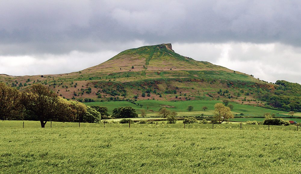
The walk starts from the National Park car park at Newton under Roseberry and makes a short circuit. Roseberry Lane, a rough track, leads to Newton Wood, and a path climbs through the oaks to the open hillside. A stone-pitched path then goes steeply up the north side to the trig point on the rocky summit of Roseberry Topping (320 m). The way down leaves the south side of the top, turns west below the crag and drops into Newton Wood, where a woodland path leads back to the lane.
It is 3.0 km with 205 m of ascent; allow about 1½ hours. The grade is Easy: it is short, but the climb is steep all the way and the stone steps are uneven.
The National Trust, which looks after the hill, calls its own version of this walk challenging, with steep sections and uneven ground, and recommends walking boots. The paths are muddy in winter. The west face of the summit is a sheer crag, left when the hillside collapsed in 1912, so keep back from the edge. Dogs should be on a short lead near livestock.
The car park is run by the National Park Authority and costs £3.90 for up to two hours or £6.20 for longer; there are toilets. Great Ayton station, on the Esk Valley line, is about 2 km away.
Route drawn by Global Adventurer along OpenStreetMap paths (© OpenStreetMap contributors, ODbL), with figures worked out from it. Check the forecast and the ground on the day: paths change.
Good to know
- Roseberry Topping, 320 m, the best-known small hill of the North York Moors
- Its sheer west face was left by a collapse in 1912
- Up through the oaks of Newton Wood, looked after by the National Trust
- Wide views over Teesside and the Cleveland plain
Summits on the way
- Roseberry Topping 320 m
Getting there
Start: Newton under Roseberry car park · Pay and display. 54.50731, -1.12095
By train: Great Ayton station is 2.0 km from the start.
Places to stay nearby
Rooms in and around Great Ayton: Booking.com → Expedia →
Affiliate links: if you book, Global Adventurer earns a small commission at no cost to you.
Paths change, and the weather decides the day. The line and figures come from OpenStreetMap and our own checks; take a map, check the forecast, and turn back if it isn't right.

