Line © OpenStreetMap contributors (ODbL), checked by Global Adventurer.
The walk
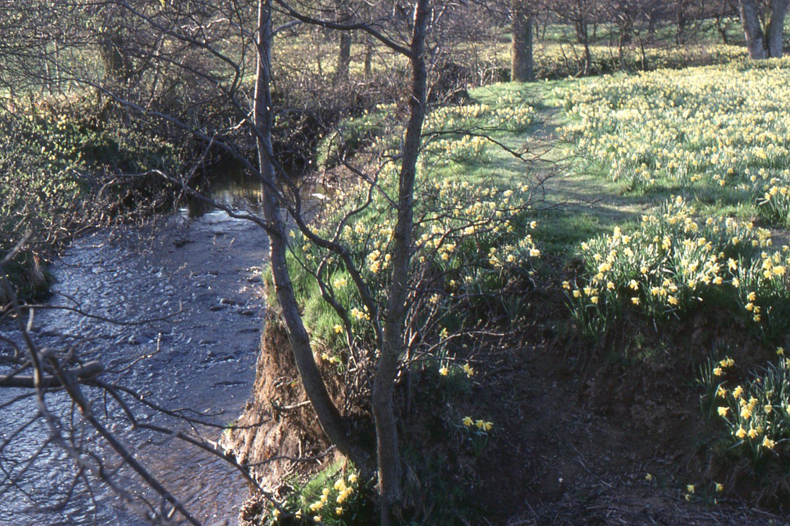
The walk starts from the car park at Low Mill in Farndale and goes there and back along the River Dove. A path drops to a footbridge over the river and turns upstream, following the bank through a string of meadows and small woods on a made path. After about 2.5 km it reaches High Mill, where a track leads on to the hamlet of Church Houses. The return is the same way.
It is 5.8 km with 27 m of ascent; allow about 1½ hours. The grade is Easy: it is almost level, on a made path with no stiles.
The wild daffodils are usually out between mid-March and mid-April, and the numbers vary from year to year. At other times it is a quiet riverside walk. The National Park asks for dogs to be kept under close control, preferably on a lead, at all times, to protect the daffodils. There is no mobile phone signal along the walk. There are no stiles or steps, only some short slopes.
The National Park car park at Low Mill has toilets and a donation box instead of a charge. It is small and fills early in daffodil time, when a privately run car park opens in the next field and charges. There is no station nearby.
Route drawn by Global Adventurer along OpenStreetMap paths (© OpenStreetMap contributors, ODbL), with figures worked out from it. Check the forecast and the ground on the day: paths change.
Good to know
- Wild daffodils line the River Dove, usually from mid-March to mid-April
- A made path with no stiles from Low Mill to High Mill
- The hamlet of Church Houses at the far end
- A quiet riverside walk at other times of year
Getting there
Start: Low Mill car park · Free parking. 54.34776, -0.96534
Places to stay nearby
Rooms in and around Castleton Moor: Booking.com → Expedia →
Affiliate links: if you book, Global Adventurer earns a small commission at no cost to you.
Paths change, and the weather decides the day. The line and figures come from OpenStreetMap and our own checks; take a map, check the forecast, and turn back if it isn't right.
