Line © OpenStreetMap contributors (ODbL), checked by Global Adventurer.
The walk
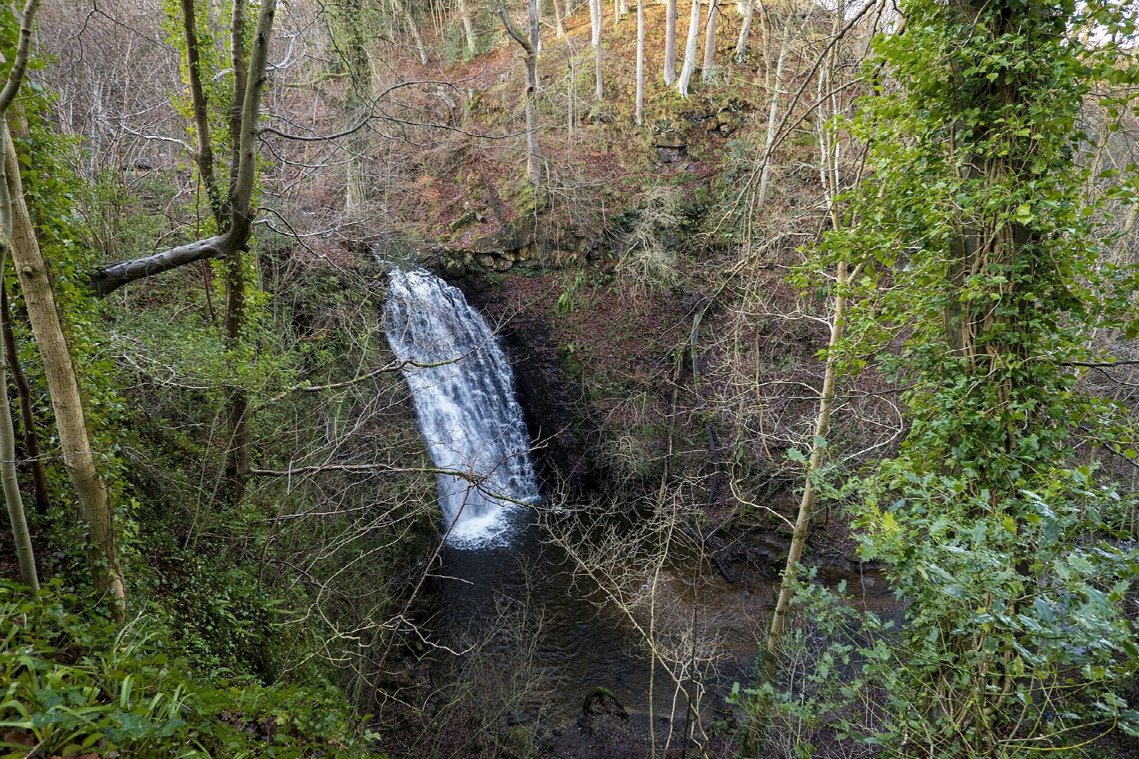
The walk starts from the Forestry England car park at May Beck, in Sneaton Forest, and makes a short circuit. A stony track and steps climb from the bridge into the woods above the beck, and a woodland path leads north to Midge Hall, an old keeper's cottage that is now a tea garden. Beside it Falling Foss drops 30 ft (9 m) into a wooded gorge. The return follows the path along May Beck upstream, back to the car park. A path leads on north from the fall to the Hermitage, a shelter cut from a single boulder.
It is 2.6 km with 59 m of ascent; allow about 45 minutes. The grade is Easy: it is short, though the steps are uneven and the path drops steeply to the beck.
The National Park warns of very steep drops off the path near the waterfall: keep children close and dogs on a short lead there. The stone steps are uneven and one or two gradients are steep.
The car park costs £3.50 for up to two hours or £6 for longer, paid by phone through RingGo; the signal is poor. It is open from 7am to 5pm and has no toilets. There is no station nearby.
Route drawn by Global Adventurer along OpenStreetMap paths (© OpenStreetMap contributors, ODbL), with figures worked out from it. Check the forecast and the ground on the day: paths change.
Good to know
- Falling Foss, a 30 ft waterfall in Sneaton Forest
- Midge Hall, the tea garden beside the fall
- Out through the woods, back beside May Beck
- The Hermitage, a shelter cut from a single boulder, is 600 m beyond the fall
Getting there
Start: May Beck car park · Pay and display. 54.40997, -0.62656
Places to stay nearby
Rooms in and around Sleights: Booking.com → Expedia →
Affiliate links: if you book, Global Adventurer earns a small commission at no cost to you.
Paths change, and the weather decides the day. The line and figures come from OpenStreetMap and our own checks; take a map, check the forecast, and turn back if it isn't right.
