Line © OpenStreetMap contributors (ODbL), checked by Global Adventurer.
The walk
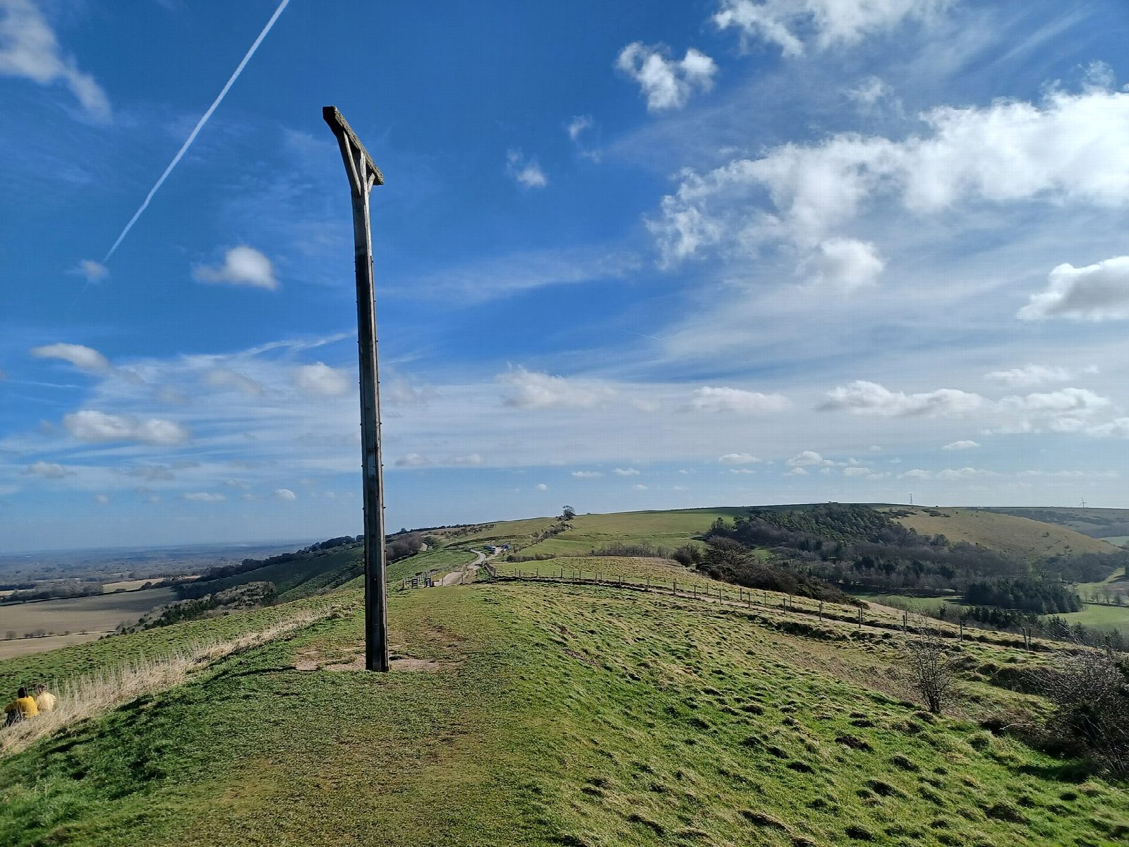
From the car park on the ridge the walk follows the byway east over Walbury Hill, the highest chalk hill in England, through the ramparts of its Iron Age fort. It drops steeply south into the hamlet of Combe, tucked in a fold of the downs, and goes west through Combe Wood and Buttermere Wood to Buttermere. From there it climbs to Ham Hill and turns east along the top of Inkpen Hill, past Wigmoreash Pond, to Combe Gibbet, which stands on a Neolithic long barrow on Gallows Down, and back to the car park.
It is 10.2 km with 203 m of ascent; allow about 3 hours. The grade is Moderate. Over half is on tracks and byways.
The ridge is open and windy, with long views over the Kennet valley. The byways can be muddy and are open to some vehicles. The descent to Combe and the climb out of the woods are steep. Sheep graze the downs, so keep dogs on leads.
The car park between Walbury Hill and Inkpen Hill is free. There is no station near; the nearest is Kintbury, about 5 km away.
Route drawn by Global Adventurer along OpenStreetMap paths (© OpenStreetMap contributors, ODbL), with figures worked out from it. Check the forecast and the ground on the day: paths change.
Good to know
- Walbury Hill, the highest chalk hill in England, ringed by an Iron Age fort
- Down to the hamlet of Combe and through Combe Wood to Buttermere
- Back along Ham Hill and Inkpen Hill on the Wayfarer's Walk
- Combe Gibbet stands on a Neolithic long barrow on Gallows Down
Summits on the way
- Walbury Hill (boundary) 293 m · passed close by
- Ham Hill 261 m · passed close by
- Inkpen Hill 291 m · passed close by
- Gallows Down 280 m · passed close by
Getting there
Start: Walbury Hill car park · Free parking. 51.35636, -1.46987
Places to stay nearby
Rooms in and around Kintbury: Booking.com → Expedia →
Affiliate links: if you book, Global Adventurer earns a small commission at no cost to you.
Paths change, and the weather decides the day. The line and figures come from OpenStreetMap and our own checks; take a map, check the forecast, and turn back if it isn't right.