Line © OpenStreetMap contributors (ODbL), checked by Global Adventurer.
The walk
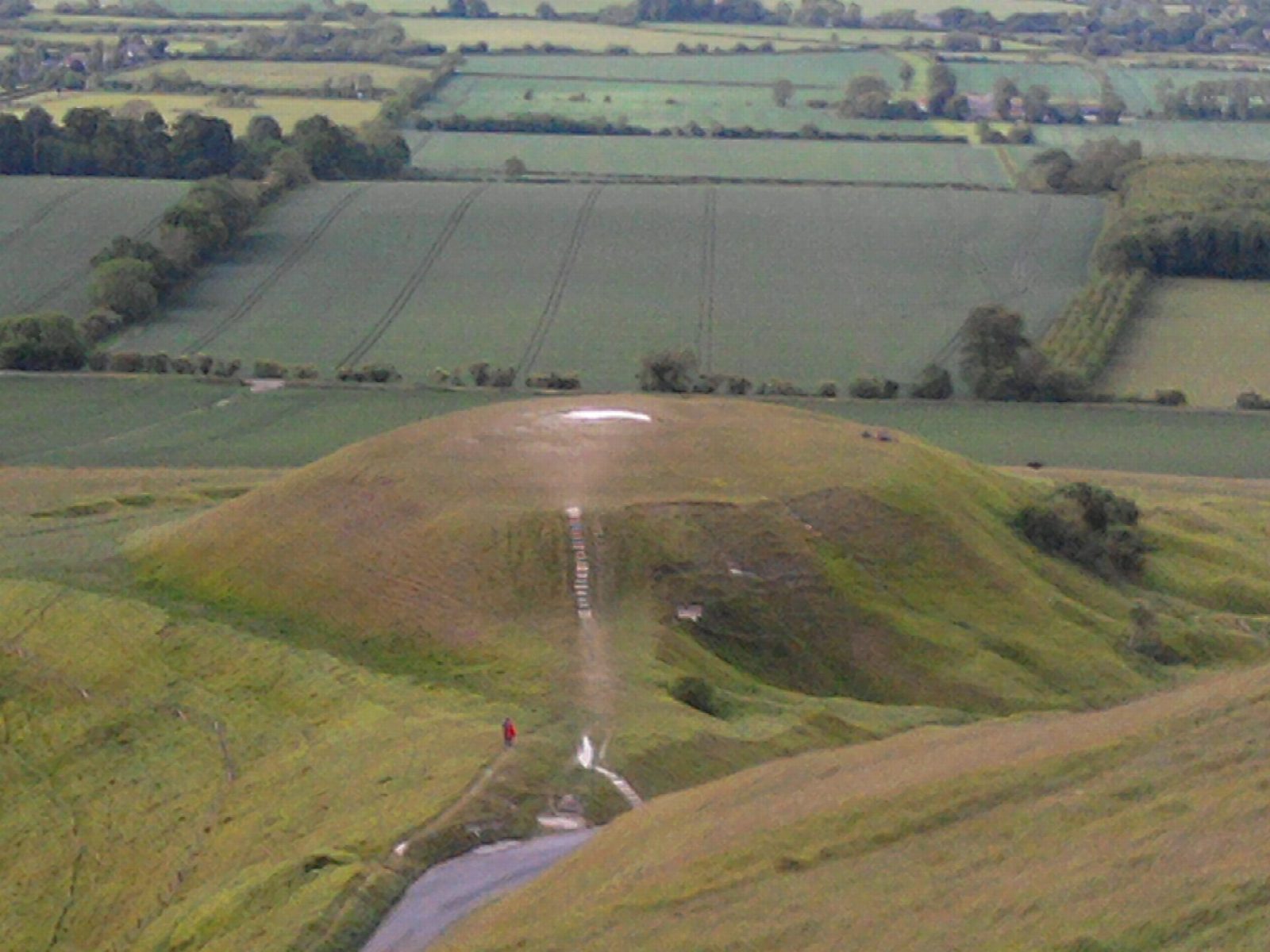
From the National Trust car park the walk goes out to Dragon Hill and the Manger, below the White Horse, a chalk figure about 3,000 years old, then climbs to the ramparts of Uffington Castle. It follows the Ridgeway west and turns south down Compton Bottom across the Lambourn Downs to the road by Ashdown House, a 17th-century hunting lodge. From there tracks lead north again to Wayland's Smithy, a Neolithic long barrow among beech trees, and the Ridgeway brings it back east to the car park.
It is 13.6 km with 194 m of ascent; allow about 4 hours. The grade is Moderate. About half is on broad chalk tracks.
The downs are open and exposed, with little shelter. Parts of the Ridgeway are byway, so expect the odd vehicle. Keep off the White Horse itself; walking on the figure damages it. Sheep graze the hill, so keep dogs on leads.
The White Horse Hill car park is National Trust pay and display, free for National Trust and English Heritage members. There is no station near; the nearest is Swindon, about 14 km away.
Route drawn by Global Adventurer along OpenStreetMap paths (© OpenStreetMap contributors, ODbL), with figures worked out from it. Check the forecast and the ground on the day: paths change.
Good to know
- The Uffington White Horse, a Bronze Age chalk figure some 3,000 years old, with Dragon Hill and the Manger below
- Uffington Castle, an Iron Age hill fort on the Ridgeway
- Down past Ashdown House and back up to Wayland's Smithy, a Neolithic long barrow
- Home along the Ridgeway, one of Britain's oldest roads
Summits on the way
- Dragon Hill 191 m · passed close by
- Whitehorse Hill 261 m · passed close by
Getting there
Start: White Horse Hill car park · Pay and display. 51.57737, -1.57851
Places to stay nearby
Rooms in and around Swindon: Booking.com → Expedia →
Affiliate links: if you book, Global Adventurer earns a small commission at no cost to you.
Paths change, and the weather decides the day. The line and figures come from OpenStreetMap and our own checks; take a map, check the forecast, and turn back if it isn't right.