Line © OpenStreetMap contributors (ODbL), checked by Global Adventurer.
The walk
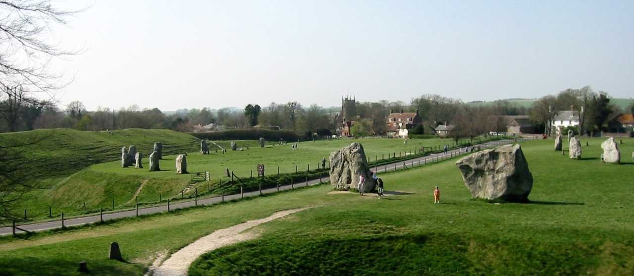
From the National Trust car park the walk goes into Avebury to the great henge and its stone circle, then follows the infant River Kennet south past Silbury Hill, the tallest prehistoric mound in Europe. Across the A4 a path climbs to West Kennet Long Barrow, a chambered tomb you can walk into, and back down. The way continues east along the river and up to the Sanctuary, then north along the Ridgeway on to Overton Down. The Herepath, an old track, leads back west into Avebury.
It is 11.3 km with 102 m of ascent; allow about 3 hours. The grade is Moderate. Most of it is on chalk tracks and field paths.
Cross the A4 with care. Silbury Hill is protected: there is no access to the mound. The Ridgeway here is a byway and can be rutted and muddy in winter. Sheep graze in the henge and on the downs, so keep dogs on leads.
The Avebury car park is National Trust pay and display, free for members. There is no station near; the nearest is Pewsey, about 11 km away.
Route drawn by Global Adventurer along OpenStreetMap paths (© OpenStreetMap contributors, ODbL), with figures worked out from it. Check the forecast and the ground on the day: paths change.
Good to know
- Through Avebury's stone circle, the largest in Britain
- Past Silbury Hill, the tallest prehistoric mound in Europe, to West Kennet Long Barrow
- The Sanctuary and up the Ridgeway on to Overton Down
- Back along the Herepath, an ancient track across the downs
Summits on the way
- Overton Hill 170 m · passed close by
Getting there
Start: Avebury National Trust car park · Pay and display. 51.42554, -1.85806
Places to stay nearby
Rooms in and around Pewsey: Booking.com → Expedia →
Affiliate links: if you book, Global Adventurer earns a small commission at no cost to you.
Paths change, and the weather decides the day. The line and figures come from OpenStreetMap and our own checks; take a map, check the forecast, and turn back if it isn't right.