Line © OpenStreetMap contributors (ODbL), checked by Global Adventurer.
The walk
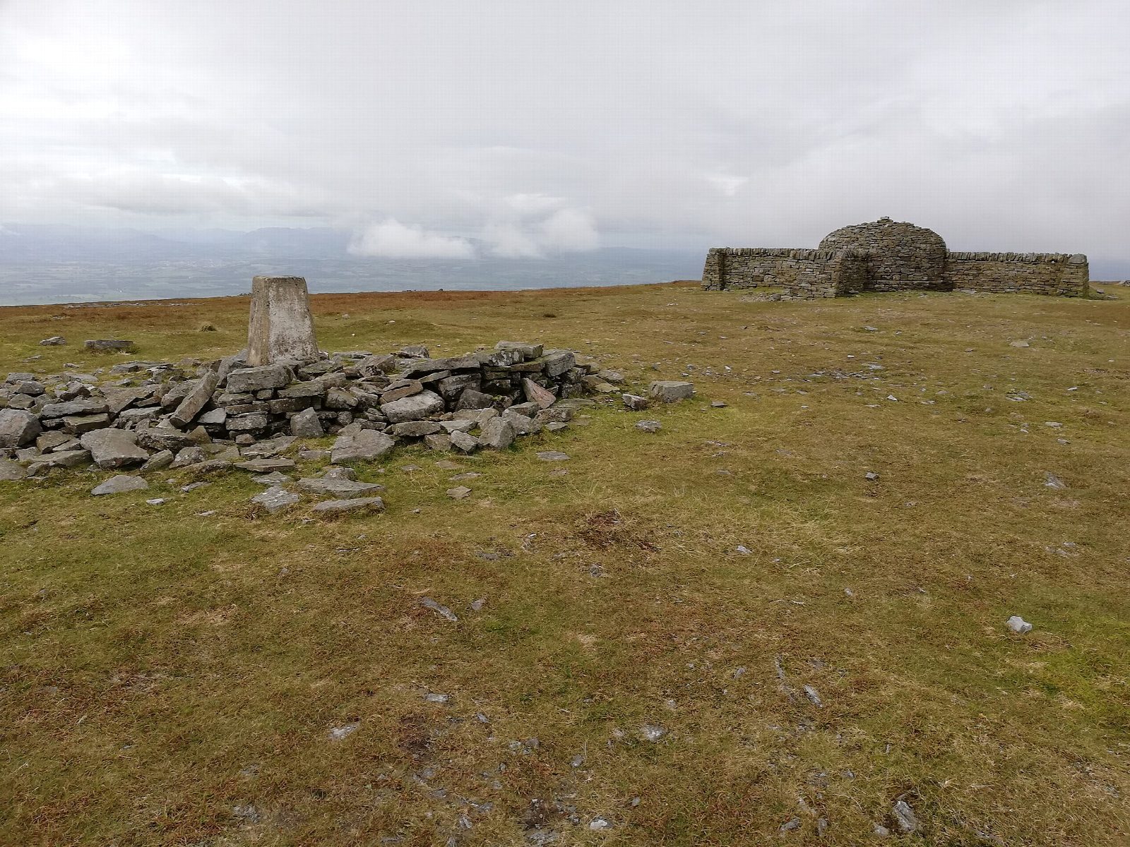
From Kirkland the walk climbs the Maiden Way, an old Roman road, on to the fell and joins the corpse road, the old track along which coffins were carried from Garrigill to Kirkland. It follows the track east towards Greg's Hut, a bothy on the Pennine Way, and by the Yad Stone turns up the Pennine Way past Cross Fell Well to the summit plateau of Cross Fell, at 893 m the highest point in England outside the Lake District. The way down drops west to the corpse road and follows it back, then descends beside Kirkland Beck to the village.
It is 12.6 km with 702 m of ascent; allow about 5½ hours. The grade is Moderate: a long day on high moorland. Much of the corpse road is walked both ways.
Cross Fell is often in cloud and the summit plateau is featureless: you need a map and compass and the skill to use them. The weather changes fast, and the Helm Wind can blow very hard here. There is no shelter except the bothy and the summit shelter.
There is no car park; park considerately at the roadside by the church in Kirkland. There is no station near; the nearest is Langwathby, about 8 km away.
Route drawn by Global Adventurer along OpenStreetMap paths (© OpenStreetMap contributors, ODbL), with figures worked out from it. Check the forecast and the ground on the day: paths change.
Good to know
- Up the Maiden Way, a Roman road, and the old corpse road from Kirkland
- Greg's Hut, a bothy on the Pennine Way
- Cross Fell, at 893 m the highest point in England outside the Lake District
- Down by the corpse road and Kirkland Beck
Summits on the way
- Cross Fell 893 m
Getting there
Start: Kirkland · Free parking. 54.68698, -2.54346
Places to stay nearby
Rooms in and around Langwathby: Booking.com → Expedia →
Affiliate links: if you book, Global Adventurer earns a small commission at no cost to you.
Paths change, and the weather decides the day. The line and figures come from OpenStreetMap and our own checks; take a map, check the forecast, and turn back if it isn't right.