Line © OpenStreetMap contributors (ODbL), checked by Global Adventurer.
The walk
From the Dimmuborgir car park, walk through the lava pillars and arches of Dimmuborgir (the Dark Castles) and leave by the steps at Gatklettur on the east side. A marked path runs north-east over the lava for about 1.5 km to the south foot of Hverfjall. Climb the steep zigzag path to the rim and go anticlockwise round the whole crater. Come down the same path and return over the lava.
It is 9.4 km round with 246 m of ascent; allow about 3 hours. The grade is Easy: marked paths over the lava, with one short, very steep climb to the rim and back down.
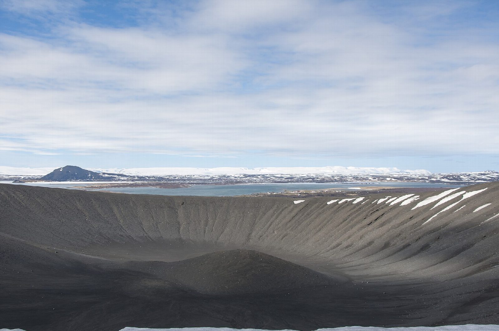
The path up Hverfjall is very steep loose gravel, with poles and ropes to hold, and it is slippery when frozen. The rim is windy and exposed. Both places are protected natural monuments, and leaving the marked paths is not allowed. Hverfjall is a tephra ring about 1 km across, from an eruption around 2,500 years ago; from the rim you look over Mývatn's pseudocraters.
Parking at Dimmuborgir is free; the toilets are paid. The Hverfjall car park, not used here, charges 1,200 ISK a car per day through Parka. Strætó route 56, between Akureyri and Egilsstaðir, serves Mývatn on some days only; Dimmuborgir is about 6 km south of Reykjahlíð by road.
Route drawn by Global Adventurer along OpenStreetMap paths (© OpenStreetMap contributors, ODbL), with figures worked out from it. Check the forecast and the ground on the day: paths change.
Good to know
- Hverfjall is a tephra ring about 1 km across, thrown up by an explosive eruption around 2,500 years ago
- Dimmuborgir, the Dark Castles, are lava pillars and arches left when a lava lake drained
- Both are protected natural monuments where walkers must keep to the marked paths
- From the rim you look over Mývatn's pseudocraters and the steam of Námafjall
Getting there
Start: Dimmuborgir car park. 65.59159, -16.91329
Places to stay nearby
Rooms in and around North Iceland: Booking.com → Expedia →
Affiliate links: if you book, Global Adventurer earns a small commission at no cost to you.
Paths change, and the weather decides the day. The line and figures come from OpenStreetMap and our own checks; take a map, check the forecast, and turn back if it isn't right.