Line © OpenStreetMap contributors (ODbL), checked by Global Adventurer.
The hike
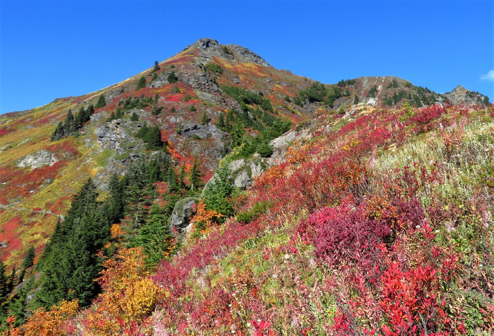
The walk starts at the Tomyhoi Lake and Yellow Aster Butte Trailhead on Twin Lakes Road, 4.5 miles from the Mount Baker Highway near Glacier. The trail climbs through forest to a junction after about a mile and a half, where the Tomyhoi Lake trail goes right and the Yellow Aster Butte Trail goes left. It then crosses open slopes to a junction above the tarns, 3.6 miles from the start. From there a steep path climbs to the south summit of the butte, at about 6,150 feet. Return the same way.
It is 7.6 miles (12.3 km) round trip with 2,300 feet (702 m) of climbing; allow about 5½ hours. The grade is Moderate: a sustained climb of 2,300 feet, steepest at the end.
The path ends on the south summit. The higher top along the ridge is a rough scramble and is not part of this walk. All human waste must be packed out. Camping is allowed only at or beyond the tarns, and only on snow, rock or bare ground. The slopes are prone to avalanches, so this is a walk for when the snow has gone.
A Northwest Forest Pass or an America the Beautiful pass is needed to park. The parking area is shared with the Tomyhoi Lake trail and is reached by a forest road.
Route drawn by Global Adventurer along OpenStreetMap paths (© OpenStreetMap contributors, ODbL), with figures worked out from it. Check the forecast and the ground on the day: paths change.
Good to know
- Tarn-dotted meadows looking out to Mount Baker, Mount Shuksan and the Border Peaks
- Twin Lakes Road is rough gravel and the roadside parking is small
- No toilets up high: human waste must be packed out
Getting there
Start: Yellow Aster Butte Trailhead · Parking fee. 48.94362, -121.66169
Places to stay nearby
Rooms in and around North Cascades: Booking.com → Expedia →
Affiliate links: if you book, Global Adventurer earns a small commission at no cost to you.
Paths change, and the weather decides the day. The line and figures come from OpenStreetMap and our own checks; take a map, check the forecast, and turn back if it isn't right.
