Line © OpenStreetMap contributors (ODbL), checked by Global Adventurer.
The hike
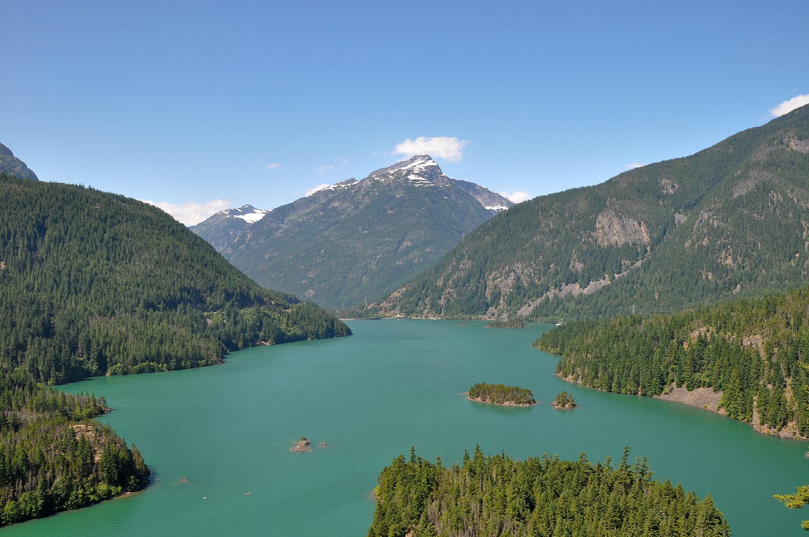
The walk starts at the signed trailhead on the north side of State Route 20 at milepost 130, by the entrance to Colonial Creek Campground. The Thunder Knob Trail crosses Colonial Creek on footbridges, and the stony ground left by floods in 2003 and 2006, then climbs at an easy grade. It passes from cool forest of Douglas fir and hemlock onto drier, sunnier slopes of lodgepole pine. It ends at viewpoints with benches above Diablo Lake, with Colonial Peak, Davis Peak and Sourdough Mountain around. Return the same way.
It is 3.4 miles (5.4 km) round trip with 560 feet (170 m) of climbing; allow about 1¾ hours. The grade is Easy: a short climb at a gentle grade.
The color of the lake comes from fine rock ground by glaciers and carried in the water. The footbridges over the creek are taken out for the winter; in 2026 the park reported them in place on April 24. Watch your footing on the rough, rocky ground near the creek. Leashed pets are allowed. In fall the vine maples along the trail turn orange.
No pass or fee is needed to park. State Route 20 closes over the passes in winter, so check the road report before you set out.
Route drawn by Global Adventurer along OpenStreetMap paths (© OpenStreetMap contributors, ODbL), with figures worked out from it. Check the forecast and the ground on the day: paths change.
Good to know
- An easy climb to rocky knobs above the turquoise water of Diablo Lake
- The colour comes from fine glacial rock flour held in the water
- Starts at Colonial Creek Campground on SR 20; no pass is needed
Getting there
Start: Colonial Creek Campground. 48.69115, -121.09958
Places to stay nearby
Rooms in and around North Cascades: Booking.com → Expedia →
Affiliate links: if you book, Global Adventurer earns a small commission at no cost to you.
Paths change, and the weather decides the day. The line and figures come from OpenStreetMap and our own checks; take a map, check the forecast, and turn back if it isn't right.


