Line © OpenStreetMap contributors (ODbL), checked by Global Adventurer.
The hike
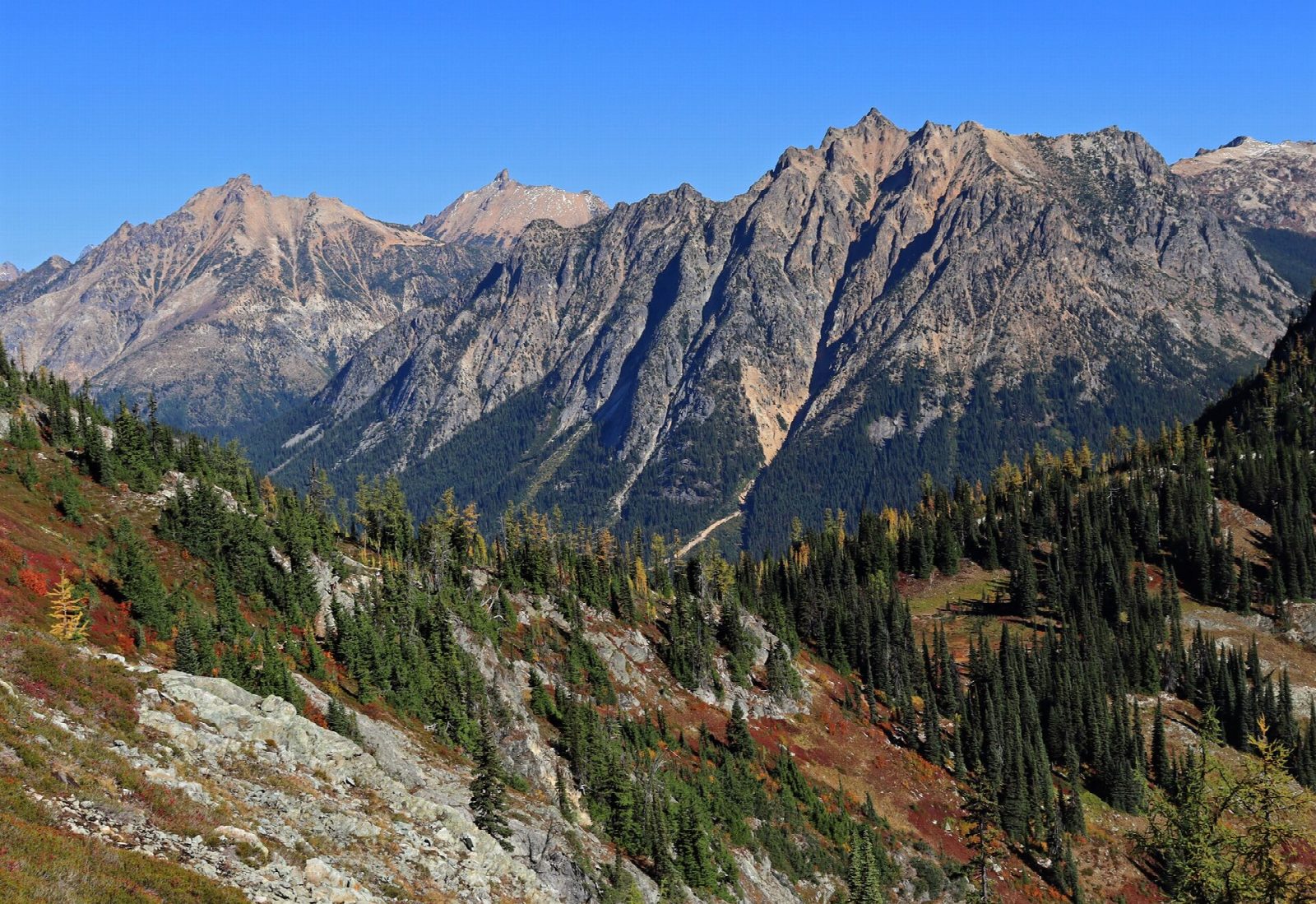
The walk starts at the Rainy Pass Trailhead on State Route 20, about 50 miles east of Marblemount. Our line goes round counterclockwise. The Maple Pass Trail climbs through forest and passes the turn for Lake Ann after about a mile and a half. It goes on up to Heather Pass, then follows the open ridge round the head of the basin, high above the lake, to Maple Pass, at about 6,600 feet. It carries on along the far ridge, a little higher still, then drops through forest to the paved Rainy Lake Trail, which leads back to the trailhead.
It is a 7.5-mile (12.1 km) loop with 1,990 feet (607 m) of climbing; allow about 5 hours. The grade is Moderate: a steady climb to over 6,600 feet and a long descent.
Just past the Lake Ann turn the trail crosses a steep hillside that can hold snow until late in the season. The side trail to Lake Ann is fairly flat and adds about 0.6 miles each way. In fall the larches round the lakes turn gold. The trailhead has room for about 40 cars and fills early then.
A Northwest Forest Pass or an America the Beautiful pass is needed to park. State Route 20 closes for the winter, usually from late November or early December until April or early May, depending on snow.
Route drawn by Global Adventurer along OpenStreetMap paths (© OpenStreetMap contributors, ODbL), with figures worked out from it. Check the forecast and the ground on the day: paths change.
Good to know
- A high loop over Heather Pass and Maple Pass, looking down on Lake Ann
- Larches turn gold in late September, the loop's busiest season
- SR 20 closes in winter; a Northwest Forest Pass is needed at Rainy Pass
Getting there
Start: Rainy Pass. 48.51804, -120.73312
Places to stay nearby
Rooms in and around North Cascades: Booking.com → Expedia →
Affiliate links: if you book, Global Adventurer earns a small commission at no cost to you.
Paths change, and the weather decides the day. The line and figures come from OpenStreetMap and our own checks; take a map, check the forecast, and turn back if it isn't right.
