Line © OpenStreetMap contributors (ODbL), checked by Global Adventurer.
The hike
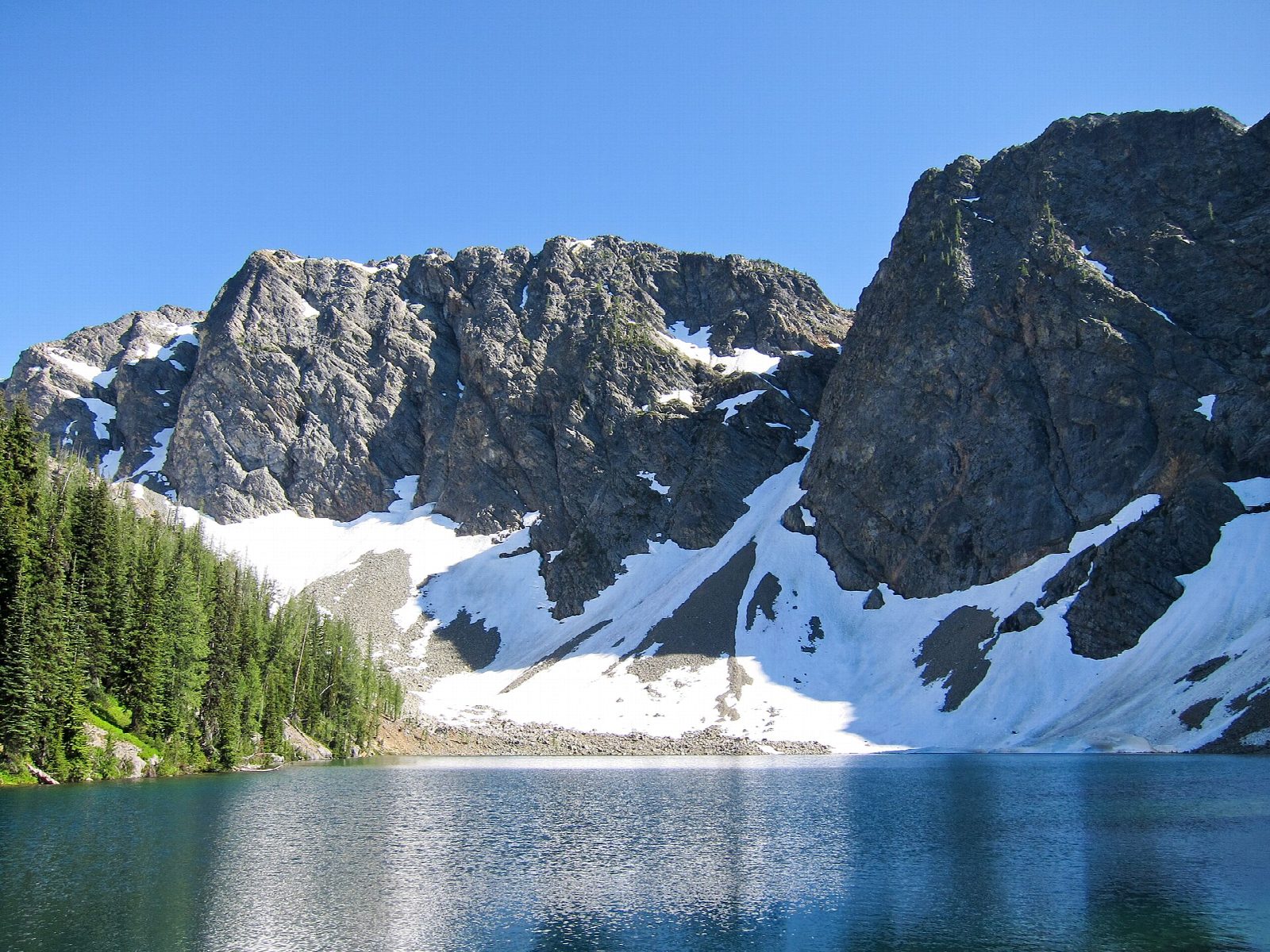
The walk starts at the Blue Lake Trailhead on State Route 20, less than a mile west of Washington Pass. The Blue Lake Trail climbs gently through forest, with several boardwalks in the first stretch, then comes out into a meadow that is full of flowers in summer. Granite peaks rise above the trail, among them the Early Winters Spires, where climbers can often be seen. The trail crosses the outlet stream on rocks or a log bridge and reaches the lakeshore near an old cabin. Return the same way.
It is 4.8 miles (7.7 km) round trip with 900 feet (275 m) of climbing; allow about 2½ hours. The grade is Easy: a short, steady climb on a good trail to about 6,250 feet.
The water is very cold. Mountain goats are sometimes seen near the lake: keep well away from them. The lake lies high, so expect snow on the upper trail early in the season.
A Northwest Forest Pass or an America the Beautiful pass is needed to park. The parking lot at the trailhead is small. The Washington Pass Lookout, a short paved walk with a view of the same peaks, is 0.8 miles east along the highway. State Route 20 closes for the winter, usually from late November or early December until April or early May, depending on snow.
Route drawn by Global Adventurer along OpenStreetMap paths (© OpenStreetMap contributors, ODbL), with figures worked out from it. Check the forecast and the ground on the day: paths change.
Good to know
- A short climb to a lake in a granite bowl under Liberty Bell and the Early Winters Spires
- Boardwalks and meadows on the way up; snow can linger at the lake into July
- Just off SR 20, which closes in winter; a Northwest Forest Pass is needed
Getting there
Start: Blue Lake Trailhead · Parking fee. 48.51911, -120.67424
Places to stay nearby
Rooms in and around North Cascades: Booking.com → Expedia →
Affiliate links: if you book, Global Adventurer earns a small commission at no cost to you.
Paths change, and the weather decides the day. The line and figures come from OpenStreetMap and our own checks; take a map, check the forecast, and turn back if it isn't right.
