Line © OpenStreetMap contributors (ODbL), checked by Global Adventurer.
The walk
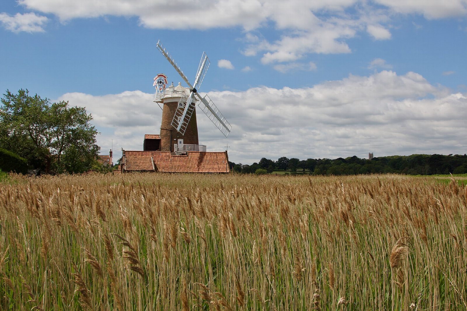
From the car park on Blakeney quay the walk follows the Norfolk Coast Path along the raised sea bank north and east round the salt marshes, with the Blakeney channel and Blakeney Point beyond. It curves round to the River Glaven and into Cley next the Sea, a village of flint cottages dominated by its tall windmill. The way back crosses the Glaven to Wiveton and follows quiet lanes and paths west back into Blakeney.
It is 6.5 km with 11 m of ascent; allow about 1½ hours. The grade is Easy. It is flat; about a third is on quiet lanes.
The sea bank is exposed to the wind. The marshes are a nature reserve with large numbers of wildfowl and waders, especially in winter: keep dogs on leads on the bank. Do not walk out on to the marshes or mud, which flood fast on the tide.
The Carnser car park on the quay is run by the National Trust and the parish council and is pay and display. There is no station near; the nearest is Sheringham, about 13 km away.
Route drawn by Global Adventurer along OpenStreetMap paths (© OpenStreetMap contributors, ODbL), with figures worked out from it. Check the forecast and the ground on the day: paths change.
Good to know
- Along the sea bank round the salt marshes from Blakeney quay
- To Cley next the Sea and its windmill
- Back by Wiveton and quiet lanes
- The marshes are a haven for wildfowl and wading birds
Getting there
Start: Blakeney Carnser car park · Pay and display. 52.95671, 1.01774
Places to stay nearby
Rooms in and around Sheringham: Booking.com → Expedia →
Affiliate links: if you book, Global Adventurer earns a small commission at no cost to you.
Paths change, and the weather decides the day. The line and figures come from OpenStreetMap and our own checks; take a map, check the forecast, and turn back if it isn't right.