Line © OpenStreetMap contributors (ODbL), checked by Global Adventurer.
The walk
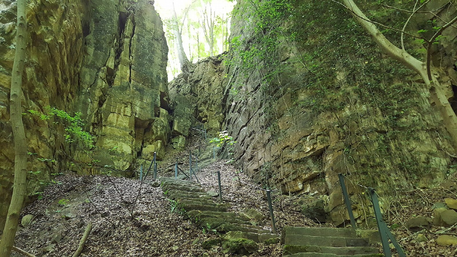
From Echternach bus station follow the local loop markers north-west out of town and up the steep Montée de Trooskneppchen to the viewpoint over Echternach. Head west into the Wolfsschlucht (Wollefsschlucht), a deep, narrow cleft in the sandstone climbed by steps. Above it, follow the forest path west along the southern edge of the Berdorf plateau, past the Aesbach valley and Perekop, to Huel Lee, where millstones were cut from the rock, and the Breechkaul open-air theatre near Berdorf. Turn back east on the northern line, past the Geierslay viewpoint, and go down through the woods to Echternach. The loop goes clockwise.
It is 13.2 km round with 307 m of ascent; allow about 4 hours. The grade is Moderate: a steep climb out of town, then forest paths and tracks with steps and narrow rock passages.
Sandstone and roots are slippery when wet, and some stretches get very muddy after heavy rain. From October to January driven hunts can close forest paths on set days: check the hunting map on the Luxembourg geoportal before you go and obey signs on the ground. Forestry work, mostly in winter, can bring short diversions.
Public transport in Luxembourg is free. Bus 201 runs from Luxembourg City (Kirchberg) to Echternach every 30 minutes. Drivers can use the Campus Gare and A Kack car parks near the bus station.
Route drawn by Global Adventurer along OpenStreetMap paths (© OpenStreetMap contributors, ODbL), with figures worked out from it. Check the forecast and the ground on the day: paths change.
Good to know
- Echternach grew around the abbey St Willibrord founded in 698 and counts as Luxembourg's oldest town
- The Wolfsschlucht is a deep cleft in the Luxembourg sandstone, its mossy walls up to about 50 m high
- At Huel Lee near Berdorf millstones were cut from the rock in the Middle Ages
- Public transport is free throughout Luxembourg; bus 201 runs from Luxembourg City every 30 minutes
Getting there
Start: Echternach bus station. 49.81022, 6.41757
Places to stay nearby
Rooms in and around Wasserbillig: Booking.com → Expedia →
Affiliate links: if you book, Global Adventurer earns a small commission at no cost to you.
Paths change, and the weather decides the day. The line and figures come from OpenStreetMap and our own checks; take a map, check the forecast, and turn back if it isn't right.