Line © OpenStreetMap contributors (ODbL), checked by Global Adventurer.
The hike
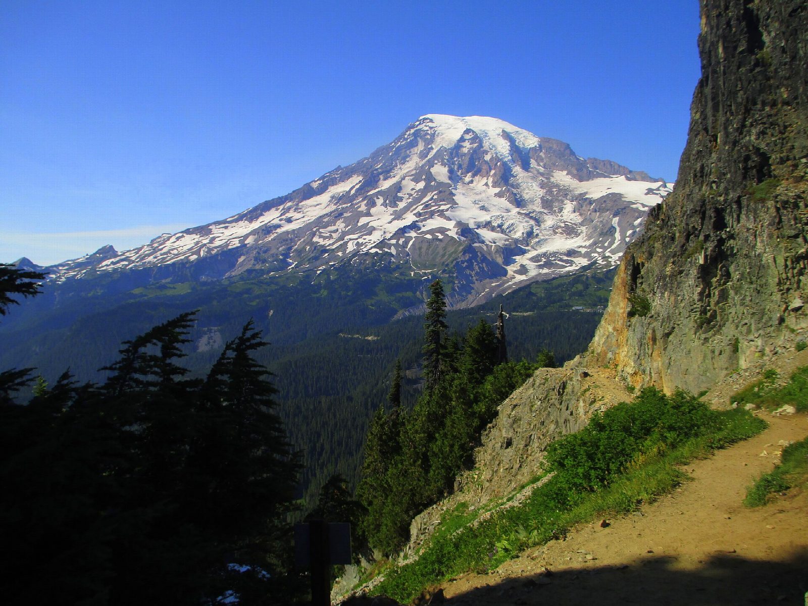
The walk starts at the Reflection Lakes parking area on Stevens Canyon Road, across the road from the largest lake. The Pinnacle Peak Trail climbs gently through thin forest at first and comes out into the open after about 0.7 miles. It then turns rocky and steep, passing under cliffs, and ends at Pinnacle Saddle, 5,920 feet up, with Mount Adams in view to the south. Return the same way.
It is 2.5 miles (4 km) round trip with 950 feet (289 m) of climbing; allow about 2 hours. The grade is Moderate: it is short, but the upper half is steep and rough.
The maintained trail ends at the saddle. The summit of Pinnacle Peak above it is a scramble on loose rock and is not part of this walk. The park warns that the trail can have snow or loose rock on it all summer, and that parts of it run beside steep drop-offs. The saddle lies in a protected research area, so stay on the trail. Pets are not allowed.
Stevens Canyon Road closes for the winter: in 2026 it shuts at 7 a.m. on October 26. Entry to the park costs $30 per vehicle for seven days, and the entrance stations take cards only.
Route drawn by Global Adventurer along OpenStreetMap paths (© OpenStreetMap contributors, ODbL), with figures worked out from it. Check the forecast and the ground on the day: paths change.
Good to know
- Starts across the road from Reflection Lakes and climbs into the Tatoosh Range
- The trail ends at Pinnacle Saddle; the summit above is a scramble on loose rock
- Stevens Canyon Road closes in winter, and snow can linger on the trail into July
Getting there
Start: Reflection Lakes · Free parking. 46.76854, -121.73155
Places to stay nearby
Rooms in and around Mount Rainier: Booking.com → Expedia →
Affiliate links: if you book, Global Adventurer earns a small commission at no cost to you.
Paths change, and the weather decides the day. The line and figures come from OpenStreetMap and our own checks; take a map, check the forecast, and turn back if it isn't right.