Line © OpenStreetMap contributors (ODbL), checked by Global Adventurer.
The hike
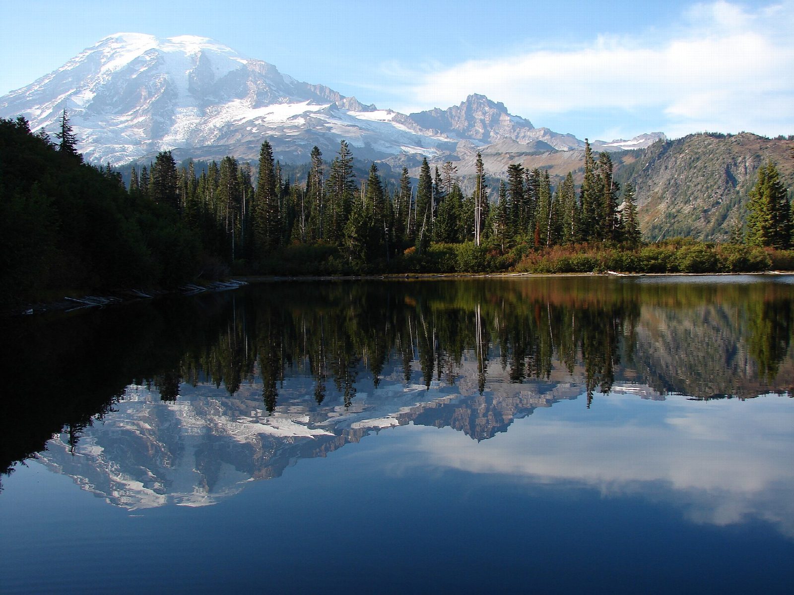
The walk starts at the Snow Lake Trailhead on the south side of Stevens Canyon Road, a mile and a half east of Reflection Lakes. The Bench and Snow Lake Trail goes up and down over a string of low ridges. After about three quarters of a mile a short spur drops to Bench Lake, which reflects Mount Rainier on a still day. Half a mile further on, the trail reaches Snow Lake, in a bowl below Unicorn Peak. Return the same way.
It is 2.2 miles (3.5 km) round trip with 700 feet (213 m) of climbing; allow about 1½ hours. The grade is Easy: a short walk with gentle ups and downs, though the park suggests two hours with stops.
The trail can be muddy through late July, and snow can cover the campsites at Snow Lake until then. Expect wildflowers and bear grass in midsummer, and the reds of mountain ash and huckleberry in fall. Treat any water before drinking it. Pets are not allowed on park trails.
Stevens Canyon Road closes for the winter: in 2026 it shuts at 7 a.m. on October 26. Entry to the park costs $30 per vehicle for seven days, and the entrance stations take cards only.
Route drawn by Global Adventurer along OpenStreetMap paths (© OpenStreetMap contributors, ODbL), with the distance and time worked out from it. The climb is the published figure: height data cannot be trusted on this ground. Check the forecast and the ground on the day: paths change.
Good to know
- A short walk to two subalpine lakes, a good first taste of the Tatoosh Range
- Snow Lake sits under Unicorn Peak, the highest summit of the Tatoosh
- Starts on Stevens Canyon Road, which closes in winter; no dogs on park trails
Getting there
Start: Snow Lake Trailhead · Free parking. 46.76770, -121.70822
Places to stay nearby
Rooms in and around Mount Rainier: Booking.com → Expedia →
Affiliate links: if you book, Global Adventurer earns a small commission at no cost to you.
Paths change, and the weather decides the day. The line and figures come from OpenStreetMap and our own checks; take a map, check the forecast, and turn back if it isn't right.
