Line © OpenStreetMap contributors (ODbL), checked by Global Adventurer.
The walk
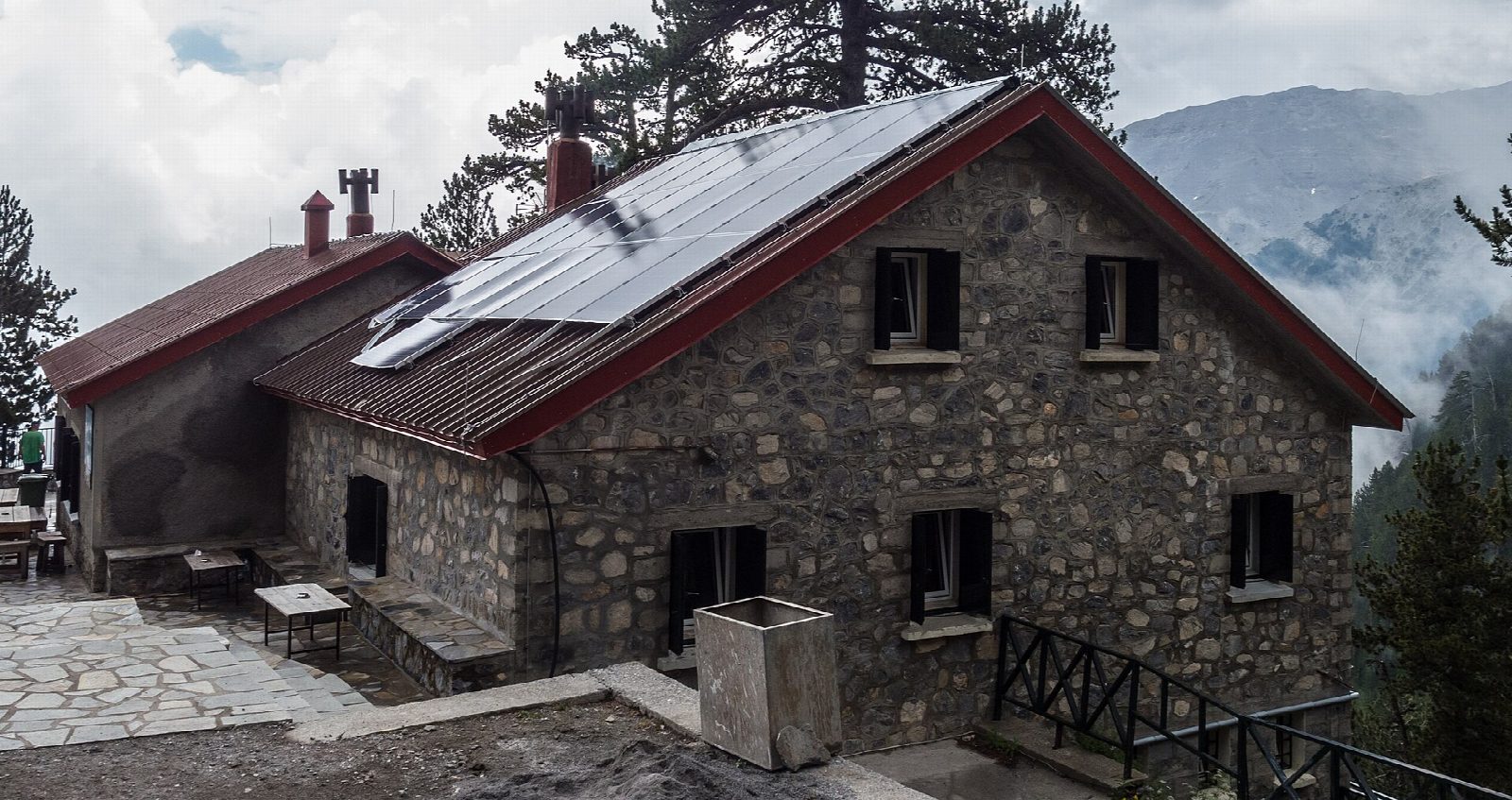
From the car park at Prionia, at the end of the road from Litochoro by the springs of the Enipeas, the E4 path climbs west through beech forest and then black pine in long zigzags. Higher up the trees thin and the views open over the forest towards the sea. The path reaches Refuge A, Spilios Agapitos, at about 2,100 m, on a shelf below the summit cliffs. Return the same way: this walk stops at the refuge and does not go on to the summits.
It is 11.5 km there and back with 952 m of ascent; allow about 6½ hours. The grade is Hard: a steady climb on a well-made, stony path.
Refuge A is open from May through October and closes in the last week of October. In winter it is shut, with no staff, and snow, cold and avalanche risk make the path a mountaineering route; snow patches can linger near the top of the zigzags in spring. Mount Olympus was Greece's first national park, declared in 1938.
Prionia is reached by a mountain road from Litochoro, and has a free car park and a taverna.
Route drawn by Global Adventurer along OpenStreetMap paths (© OpenStreetMap contributors, ODbL), with figures worked out from it. Check the forecast and the ground on the day: paths change.
Good to know
- Prionia sits at about 1,100 m by the springs of the Enipeas; the refuge is about 1,000 m higher
- The path is part of the E4 long-distance route and climbs through beech and black pine
- Refuge A is the base for the summits; this walk stops there and does not go on to Mytikas
- Olympus is Greece's highest mountain and its first national park, declared in 1938
Getting there
Start: Prionia, Mount Olympus · Free parking. 40.08415, 22.40699
Places to stay nearby
Rooms in and around Prionia: Booking.com → Expedia →
Affiliate links: if you book, Global Adventurer earns a small commission at no cost to you.
Paths change, and the weather decides the day. The line and figures come from OpenStreetMap and our own checks; take a map, check the forecast, and turn back if it isn't right.